What is recorded here
In level pasture, at W side of Holly Island inlet on S shore of Shannon estuary; within enclosure (LI010-048004-) which also includes ruined hall house (LI010-048003-). Surrounding ruin of Tomdeely parish church (LI010-048001-) is roughly rectangular area (c. 65m E-W; c. 30m N-S) in which church is located slightly E-of-centre. Area defined by earthen bank (H 0.6m; Wth 2m) which follows straight line on N and W sides but is more curvilinear to E and S. There is clear break in bank on N side opposite chancel of church (Wth c. 4m); the bank is not present for length of 15.6m at N end of E side. There is a short length of stone facing evident (H c. 0.6m) on outside of bank towards E end of N side.
The enclosure is presumably that of graveyard surrounding the church though there are no evident burial plots of grave markers; in 1840 it was reported that the 'grave yard was tilled and is now part of a green field' (OSL vol. 1, 137).
Compiled by: Denis Power
Date of upload: 26 August 2011
The monument record does not grant public access. Check the route and ask the landowner before entering private land.
- What survives
- Recorded monument
Places near here
 Settlement desertedSettlement deserted, medieval · 27 yd
 Tomdeely CastleCastle · 45 yd
 Megalithic structure in Tomdeely NorthMegalithic structure · 142 yd
 Holly IslandIslet · 692 yd
 Ballynash CastleCastle, unclassified · 1569 yd
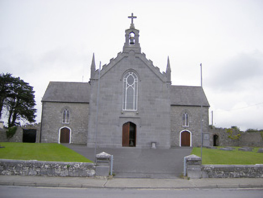 Saint Mary's Catholic Churchchurch/chapel · 1.2 mi
 Greenish IslandIslet · 1.2 mi
 Abbey (in ruinsReligious house, Franciscan friars · 1.3 mi
 Askeaton CastleHeritage attraction · 1.5 mi
 Courtbrown PointHeadland · 1.6 mi
 Herring RockNamed rock · 2.3 mi
 Foynes Flying Boat & Maritime MuseumMuseum · 4.7 mi