What is recorded here
Graveyard in Tomdeely North is a level pasture on the Shannon estuary where a broken earthen bank still marks the edge of a buried church. By 1840 the graves had vanished under ploughshares and green grass, leaving only a faint line for the dead to breathe through. The land forgot its purpose but never released it, which is why the place feels both empty and occupied.
In level pasture, at W side of Holly Island inlet on S shore of Shannon estuary; within enclosure (LI010-048004-) which also includes ruined hall house (LI010-048003-). Surrounding ruin of Tomdeely parish church (LI010-048001-) is roughly rectangular area (c. 65m E-W; c. 30m N-S) in which church is located slightly E-of-centre. Area defined by earthen bank (H 0.6m; Wth 2m) which follows straight line on N and W sides but is more curvilinear to E and S. There is clear break in bank on N side opposite chancel of church (Wth c. 4m); the bank is not present for length of 15.6m at N end of E side. There is a short length of stone facing evident (H c. 0.6m) on outside of bank towards E end of N side.
The enclosure is presumably that of graveyard surrounding the church though there are no evident burial plots of grave markers; in 1840 it was reported that the 'grave yard was tilled and is now part of a green field' (OSL vol. 1, 137).
Compiled by: Denis Power
Date of upload: 26 August 2011
The monument record does not grant public access. Check the route and ask the landowner before entering private land.
- What survives
- Recorded monument
Places near here
 Settlement desertedSettlement deserted, medieval · 27 yd
 Tomdeely CastleCastle · 45 yd
 Megalithic structure in Tomdeely NorthMegalithic structure · 142 yd
 Holly IslandIslet · 692 yd
 Ballynash CastleCastle, unclassified · 1569 yd
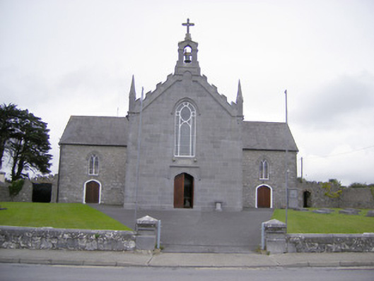 Saint Mary's Catholic Churchchurch/chapel · 1.2 mi
 Greenish IslandIslet · 1.2 mi
 Abbey (in ruinsReligious house, Franciscan friars · 1.3 mi
 Askeaton CastleHeritage attraction · 1.5 mi
 Courtbrown PointHeadland · 1.6 mi
 Herring RockNamed rock · 2.3 mi
 Foynes Flying Boat & Maritime MuseumMuseum · 4.7 mi