What is recorded here
Graveyard in Tinnaclash (rathvilly By.) stood beside a church with the Doughlas River running along its northern edge, a compact rectangular ground where local dead were laid before the nineteenth century. The water may have marked the boundary between the living town and the sleeping field, giving burial a quiet rhythm of tide and rain. People likely walked past the river to pray, remember, or bury someone they loved, making the graveyard a living edge of Rathvilly rather than a forgotten spot.
Graveyard depicted on the 1839 'OS 6-inch' map as a sub-rectangular area (map dims. c. 50-60m N-S; c. 70m E-W) associated with a church (CW004-006001-). The Doughlas River runs along the northern boundary of the graveyard.
Compiled by: Claire Breen
Date of upload: 19 August 2011
The monument record does not grant public access. Check the route and ask the landowner before entering private land.
- What survives
- Recorded monument
Places near here
 Chapel (in ruins), GraveyardChurch · 6 yd
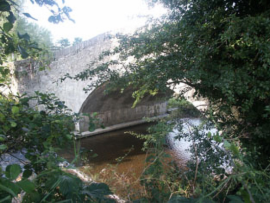 Kiltegan Bridgebridge · 148 yd
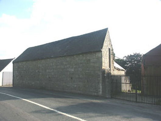 barnbarn · 550 yd
 European BeechEuropean Beech · 1280 yd
 Enclosure in Portrushen LowerEnclosure · 1.1 mi
 Enclosure in GraigueEnclosure · 1.3 mi
 Sessile OakSessile Oak · 1.8 mi
 CastleCastle, motte · 2.1 mi
 Sam McAllistair GraveMemorial · 3.3 mi
 MoatamoyCastle, motte · 3.4 mi
 Keadeen MountainMountain / peak · 3.6 mi
 Saint Brigit's Mass StoneNamed rock · 3.7 mi