What is recorded here
Traces of slight fosse (Wth 3m; D c. 0.4m) apparently enclosing large polygonal area, probably a graveyard (CW003-008002-). Locally known as 'Church', probably the site of a church (CW003-008001-) though there are no visible traces above ground. Skulls found at S of field c. 1910.
From the National Monuments Service (Archaeological Survey of Ireland) record CW003-008002
This remains an important historical record, but the official description says the monument is no longer visible or has been destroyed. The monument record does not grant public access. Check the route and ask the landowner before entering private land.
- What survives
- No visible remains or recorded as destroyed
Places near here
Photo credits
- National Inventory of Architectural Heritage
- Wanfried-Dublin, Wikimedia Commons · CC BY-SA 4.0
- A.-K. D., Wikimedia Commons · CC BY-SA 4.0
- Willow, Wikimedia Commons · CC BY 2.5
- Irlandahijo, Wikimedia Commons · CC BY-SA 3.0
- Jean-Pol GRANDMONT, Wikimedia Commons · CC BY 3.0
- Andreas F. Borchert, Wikimedia Commons · CC BY-SA 4.0
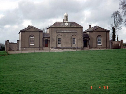 D'Israeli SchoolSchool master's house · 1403 yd
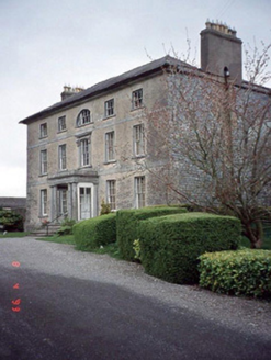 Beechy ParkCountry house · 1431 ydChurch (in ruins), Cross, GraveyardChurch · 1.8 mi
 Rathvilly MoatArchaeological place · 2.1 miCastleCastle, unclassified · 2.3 miSite of CastleCastle, unclassified · 2.3 miRahill Church (in ruins), GraveyardChurch · 2.5 mi
 Portal tomb in HaroldstownPortal tomb · 3.5 mi
 European ash3.8 mi
 Duckett's GroveHeritage attraction · 3.8 mi
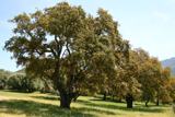 Cork oak4.5 mi
 Castledermot Round TowerHeritage attraction · 5.0 mi
More memorials and graveyards in County Carlow · All of County Carlow
What do you know about this place?