What is recorded here
Graveyard in Mullaghavorneen began as a small circular burying ground beside a church in County Longford, where mid-18th and 19th-century memorials still mark the western edge. It has since grown into a vast rectangular field bounded by concrete walls, fences and clay banks, swallowing the older curve within its larger shape. The place records how death, memory and human ambition keep expanding, layering new life upon older loss.
Associated with a church (LF013-032002-). Depicted on the 1837 ed. of the OS 6-inch map as a subcircular 'Burying Ground' (c. 45m ENE-WSW; c. 40m NNW-SSE), with the church adjacent to the boundary at SW, and accessed by a laneway from the public road. The graveyard has since been extended and is now within the W end of a very large (c. 310m E-W; c. 160m N-S), approximately rectangular, 19th-century graveyard with a 20th-century extension. The modern graveyard is bounded by block concrete walls, post-and-wire fences and clay embankments with six gates and a single stile on the SE side and one large and one small gate on the SW side. Memorials in the 'Burying Ground' date from the mid-18th to the late 19th centuries. (ITA Survey 1944; Lennon 2005)
Compiled by: Patrick F. O'Donovan, Caimin O'Brien
Date of upload: 5 June 2013
The monument record does not grant public access. Check the route and ask the landowner before entering private land.
- What survives
- Recorded monument
Places near here
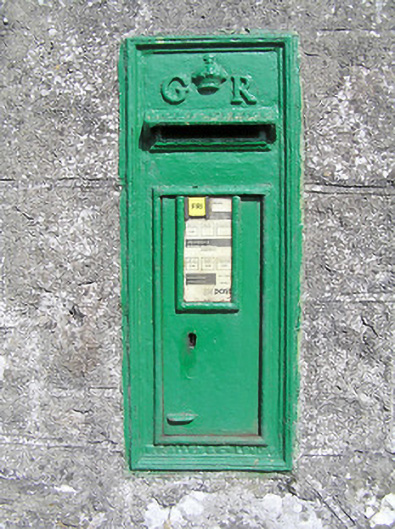 post boxpost box · 107 yd
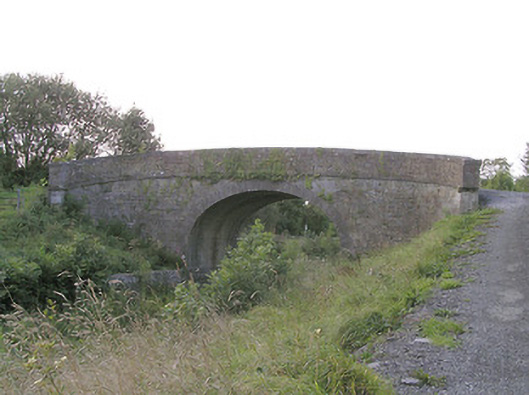 Knockanboy Bridgebridge · 483 yd
 IndicatedFairy fort / earthen ringfort · 516 yd
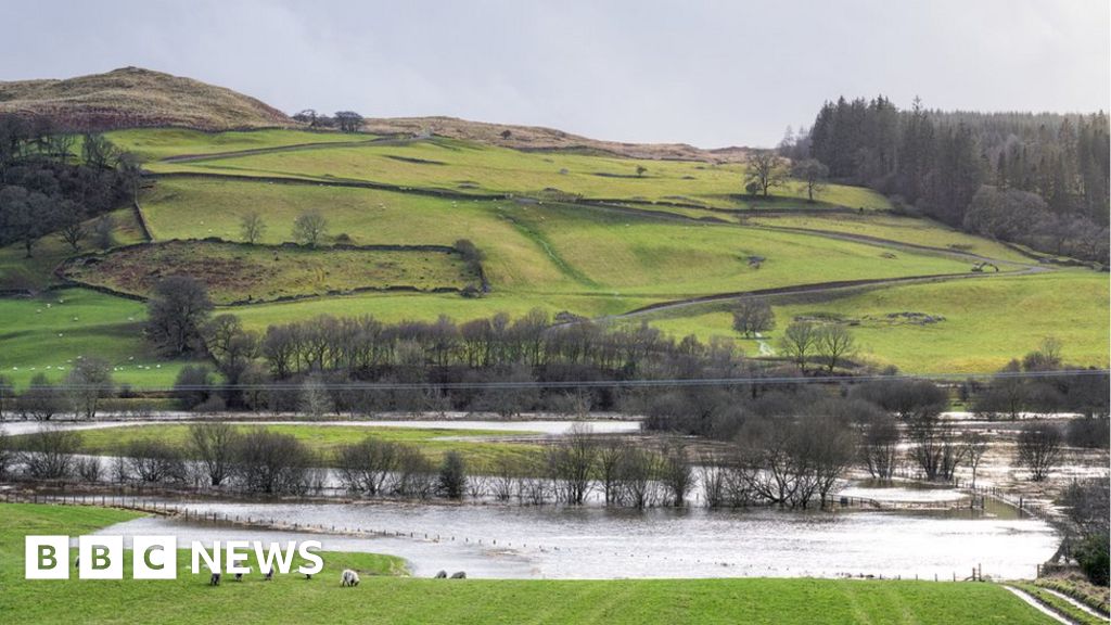 Fulacht fia in MullaghavorneenFulacht fia · 830 yd
 Graveyard in Curry (ardagh By., Coolamber Ed)Graveyard · 1.2 mi
 First World War MemorialMemorial · 1.7 mi
 Saint Mel's CathedralCathedral · 1.8 mi
 Bawn in AbbeycartronBawn · 1.9 mi
 CastleCastle, tower house · 2.1 mi
 Commons North WalkVisitor information · 7.4 mi
 Wild birdsVisitor information · 7.5 mi
 White Sand WoodWood · 7.8 mi