What is recorded here
Graveyard in Loughtown Lower stands as a walled chamber where curved south and west edges meet straight north and east boundaries. Few memorials emerge from the soil, all belonging to the 19th and 20th centuries. The asymmetry suggests human hands shaped the ground rather than surveyors drawing perfect lines.
A walled graveyard, the S and W sides are slightly curved but the N and E are straight. The memorials are few and all 19th and 20th century in date.
Compiled by Geraldine Stout
The monument record does not grant public access. Check the route and ask the landowner before entering private land.
- What survives
- Recorded monument
Places near here
 Burial GroundEcclesiastical enclosure · 277 yd
 Earthwork in Loughtown LowerEarthwork · 313 yd
 Grand Canal WayWalking route · 358 yd
 Old Canal HouseRuins · 699 yd
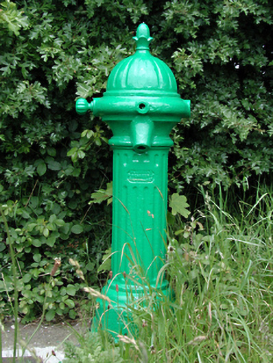 water pumpwater pump · 710 yd
 Castle (site of)Castle, unclassified · 757 yd
 European YewEuropean Yew · 1.4 mi
 CastleCastle, tower house · 1.6 mi
 Saint Finian's WellSpring · 1.7 mi
 Saint Wolstan'sHeritage attraction · 1.7 mi
 Batty Langley WoodsForest · 1.9 mi
 John McLaughlinMemorial · 2.0 mi