What is recorded here
Half a hectare of dark earth, bounded by a living bank on three sides and the Derreen River on the fourth, holds a church set north of centre and the broken remains of a Latin cross. A rude stone vessel, perhaps a baptismal font, still sits among the graves. Water and soil have done their quiet work here for centuries, taking the living in and giving the dead a shape that can be walked around at dusk.
D-shaped enclosure defined by bank from SE-W-N and Derreen River (dims. c. 60m N-S x c. 40m E-W) with church (CW009-006001-) to N of centre. Head of free-standing Latin cross (CW009-006003-) and arch of doorway (OSL 1839, 144) in graveyard. Comerford (1886, Vol. II, 352-3) also noted 'a rude' stone vessel, probably a baptismal font (CW009-006004-).
Reference:
Comerford, Rev. M. 1886 Collections relating to the dioceses of Kildare and Leighlin, 3 vols. James Duffy & Sons, Dublin.
Compiled by: Claire Breen
Date of upload: 19 August 2011
The monument record does not grant public access. Check the route and ask the landowner before entering private land.
- What survives
- Recorded monument
Places near here
 Acaun Church (in ruins), GraveyardChurch · 17 yd
 Acaun Monastery (in ruins)Religious house, Augustinian friars · 97 yd
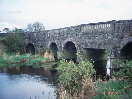 Acaun Bridgebridge · 348 yd
 Haroldstown DolmenArchaeological place · 386 yd
 Site of CastleCastle, unclassified · 915 yd
 CastleCastle, unclassified · 1068 yd
 Church (in ruins), GraveyardChurch · 2.9 mi
 European ashEuropean ash · 3.2 mi
 Rath WoodForest · 3.8 mi
 Eagle HillMountain / peak · 4.4 mi
 Ballycumber HillMountain / peak · 8.2 mi