What is recorded here
Situated on a gentle SW-facing slope beside a stream. A roughly rectangular area (c. 32m N-S; 57m E-W) enclosed by a stone wall. A church (WI010-011001-) represented by a subrectangular raised area (dims. c. 20m x 15m) is to SW of centre. Part of the N graveyard wall which stands on an earth and stone bank (Wth 2m; H 1m) with an external fosse (Wth 1.8m; D 1m ) may be part of an earlier enclosure (WI010-011002-).
Compiled by: Matt Kelleher
Date of upload: 14 December 2012
The monument record does not grant public access. Check the route and ask the landowner before entering private land.
- What survives
- Recorded monument
Places near here
 Ecclesiastical enclosure in LackanEcclesiastical enclosure · 1 yd
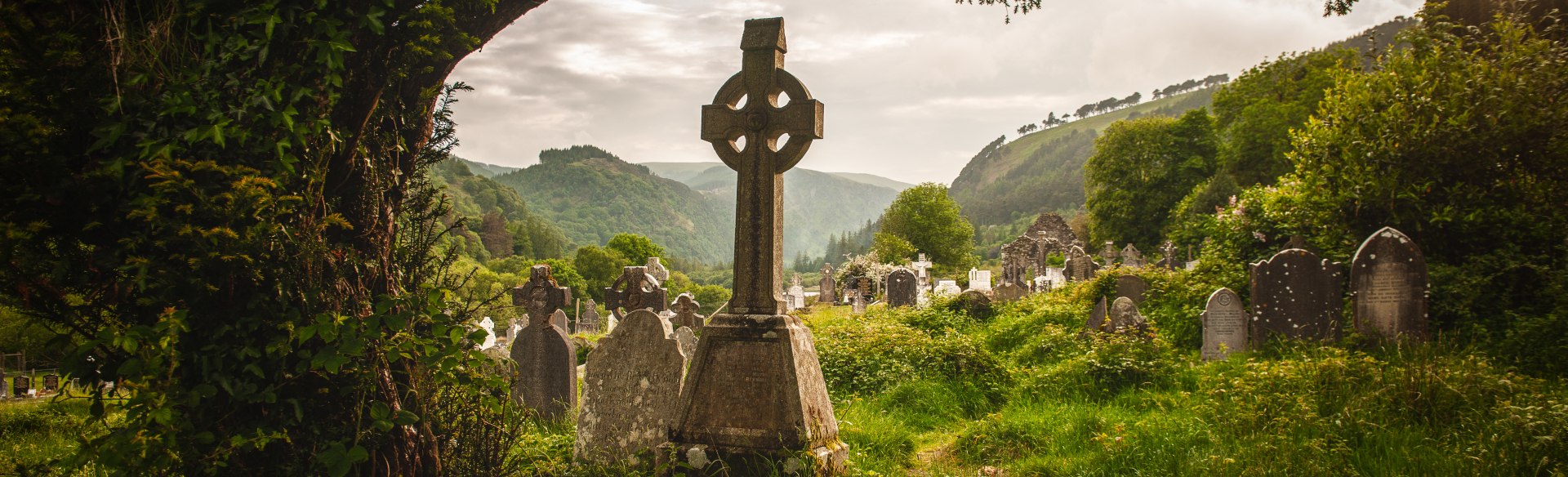 Templebodin Ch. (in Ruins)Church · 14 yd
 Font in KilbegFont · 505 yd
 Lacken – Mass Path LoopWalking route · 1206 yd
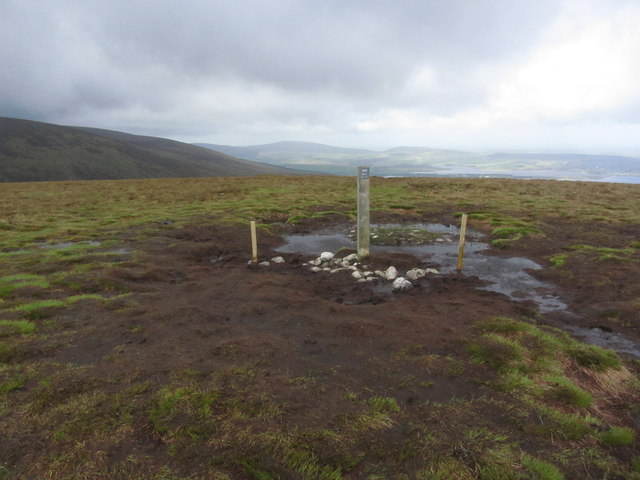 Black HillMountain / peak · 1.7 mi
 Sorrel HillMountain / peak · 1.8 mi
 Land Grabber MemorialRuins · 2.0 mi
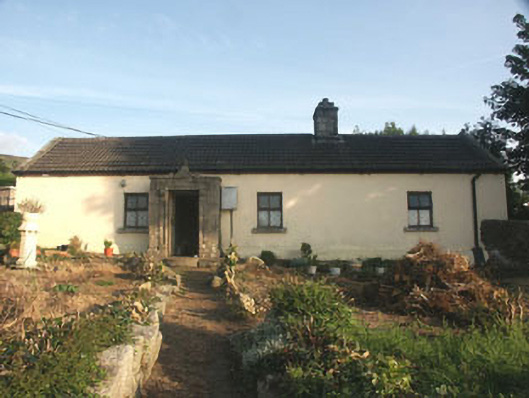 Saint Anthony'shouse · 2.1 mi
 Castle (in ruins)Castle, tower house · 2.8 mi
 Site of CastleCastle, unclassified · 2.9 mi
 OldcourtMemorial · 2.9 mi
 Artisans WorkshopsHeritage attraction · 3.8 mi