
What is recorded here
Kilmona held a graveyard and ruined church inside an early ecclesiastical enclosure, yet no burial mark remains visible. The land still carries the local name for a place where the dead were laid, while the bodies and perhaps the church itself disappeared under grass, time or forgetting. What is left is a vacant shape in County Cork, large enough to have held lives and quiet enough to have erased them.
Graveyard and church in ruins (CO051-146003-) shown within early ecclesiastical enclosure (CO051-146001-) on the 1842 OS 6-inch map. No visible trace of burials now survive. Known locally as a burial ground.
The above description is derived from the published 'Archaeological Inventory of County Cork. Volume 3: Mid Cork' (Dublin: Stationery Office, 1997). In certain instances the entries have been revised and updated in the light of recent research.
Date of upload/revision: 14 January 2009
This remains an important historical record, but the official description says the monument is no longer visible or has been destroyed. The monument record does not grant public access. Check the route and ask the landowner before entering private land.
- What survives
- No visible remains or recorded as destroyed
Places near here
 IndicatedFairy fort / earthen ringfort · 688 yd
 Fulacht fia in Dromgarriff NorthFulacht fia · 1178 yd
 Glamcam BrBridge · 1368 yd
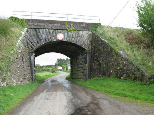 bridgebridge · 1.2 mi
 Pairc Ath Na hEornaMemorial · 1.2 mi
 Pakie HoganMemorial · 2.0 mi
 Garrycloyne Castle (in Ruins)Castle, tower house · 2.0 mi
 Castle (Site of)Castle, unclassified · 2.3 mi
 BatsVisitor information · 3.4 mi
 Waterloo Loop WalkWalking route · 3.6 mi
 Bottle HillMountain / peak · 3.6 mi
 River Martin Mill & WeirVisitor information · 3.6 mi
Other information
Photo: Credit not shown in the picture search · Rights wording not checked; contact us if this picture should be removed