What is recorded here
Associated with a medieval church (GA104-151001-) which stands in its SW end, this irregularly shaped graveyard (c. 70m NE-SW; c. 60m ENE-WSW) is delimited by a drystone wall constructed of rough limestone blocks. It slopes steeply to the S. Access is gained at SE. A survey of all the headstones, which date from the 18th to the 20th centuries and include a number of broad tombstones bearing occupational symbols, as well as a number of late medieval graveslabs within the church (see GA104-151005- to GA104-151009-) were recorded by Chapple (1995).
Compiled by: Olive Alcock
Date of upload: 4 March 2020
Medieval graveyard; associated with a medieval church and significant as a religious and burial site from the later medieval period.
The monument record does not grant public access. Check the route and ask the landowner before entering private land.
- What survives
- Recorded monument
Places near here
 IndicatedFairy fort / ringfort · 658 yd
 Roo Castle (in ruins)Castle, tower house · 691 yd
 LisdooFairy fort / stone ringfort · 843 yd
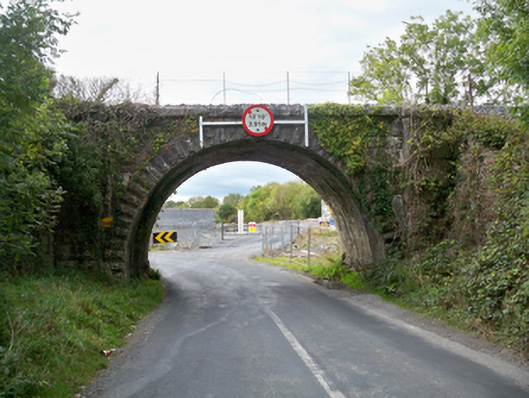 Aggard Bridgebridge · 852 yd
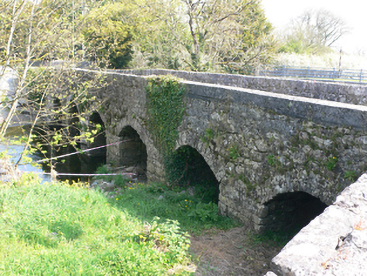 bridgebridge · 914 yd
 Strongfort Castle (in ruins)Castle, tower house · 1.2 mi
 Moyard WoodWood · 3.1 mi
 Kilcornan WoodWood · 4.9 mi
 MweenisharanIslet · 8.7 mi
 LissataggartFairy fort / earthen ringfort · 843 yd
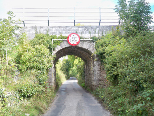 Grenage Bridgebridge · 958 yd
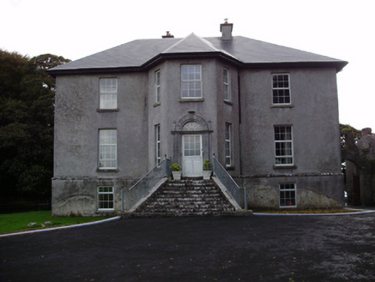 Aggard Housecountry house · 1176 yd