What is recorded here
Kildavaroge church stands inside a rectangular wooden enclosure on a low ridge in County Mayo, likely marking a lost graveyard beside the western road. The 1838 map captured that bounded space, but later surveys erased it, leaving only a faint northern fence and a shallow southern scarp to hint at the buried boundary. Gravel disturbed east of the church may have torn through graves or merely taken soil for local roads. The woods keep the dead quiet while the living drive past, forgetting the shape of the place beneath the leaves.
In deciduous woodland, located on a low N-S ridge. There is a N-S road immediately to W.
On the 1838 OS 6-inch map Kildavaroge church (MA038-061001-) is shown within a rectangular wooded enclosure (30-35m N-S; c. 20m E-W), bordered on the W side by a road. The enclosure may represent a graveyard associated with the church; however, it is not named as such on the map, and is not shown on later editions of the OS maps. A field fence, on a roughly E-W axis, located c. 12m to N of the church may preserve the N side of the rectangular enclosure, and a low E-W scarp (H 0.3-0.4m) c. 10m to S of the church probably preserves the line of the S side. There is no trace of the E side. No graves are visible. An area of ground disturbance/quarrying is located c. 20m E of the church.
Compiled by: Jane O'Shaughnessy
Date of upload: 29 July 2019
This remains an important historical record, but the official description says the monument is no longer visible or has been destroyed. The monument record does not grant public access. Check the route and ask the landowner before entering private land.
- What survives
- No visible remains or recorded as destroyed
Places near here
 Church in ruinsChurch · 10 yd
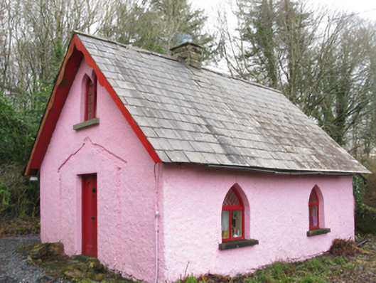 Enniscoe Housegate lodge · 188 yd
 Enclosure in InishcoeEnclosure · 338 yd
 IndicatedFairy fort / earthen ringfort · 571 yd
 Inishcoe Castle in ruinsCastle, unclassified · 887 yd
 Castle in ruinsCastle, unclassified · 1674 yd
 Castle IslandIslet · 1702 yd
 Roe IslandIslet · 1.3 mi
 Grave of the KingsArchaeological place · 2.0 mi
 Titanic Memorial ParkMemorial · 3.1 mi
 NephinMountain / peak · 4.9 mi
 FarbreigaMountain / peak · 7.8 mi