
What is recorded here
In deciduous woodland, located on a low N-S ridge. There is a N-S road immediately to W.
This church is shown on the 1922 OS 6-inch map as a rectangular building, named ‘Kildavaroge Church (in Ruins)’. John O’Donovan recorded in the 1838 OS Letters that ‘In the townland of Kildavaroge near Lough Con in this parish are the ruins of a very small old church of which I have no account, nor does tradition preserve any except that it was founded by St. Davarroge’ (O’Flanagan 1927, 98).
The outline of a rectangular building (7.4m E-W; 5.2m N-S) can still be traced, defined on the N, E and S by wall footings (Wth 0.7-0.8m; H 0.2-0.5m), largely concealed by moss and ivy. A gap (Wth c. 1m) roughly mid-way along the S wall may be the location of a doorway. The W side of the church is now defined by a N-S earth and stone field fence, which borders the road; remnants of the original church wall may be incorporated into the field fence, but there is no clear evidence of this.
On the 1838 OS 6-inch map the church is shown within a rectangular wooded enclosure (30-35m N-S; c. 20m E-W), bordered on the W side by the road; this may have defined the area of a graveyard (MA038-061002-).
Compiled by: Jane O'Shaughnessy
Date of upload: 29 July 2019
The church at Kildavaroge was likely built in the early medieval period, possibly by a local monastic or ecclesiastical community, and is dedicated to St Davog or a similar early Irish saint. Its ruined structure, recorded in 1922, reflects a simple rectangular plan typical of early Christian churches in Ireland.
The monument record does not grant public access. Check the route and ask the landowner before entering private land.
- What survives
- Recorded monument
Places near here
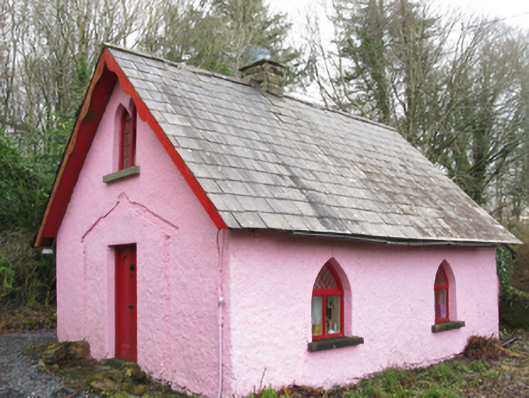 Enniscoe Housegate lodge · 189 yd
 Enclosure in InishcoeEnclosure · 348 yd
 IndicatedFairy fort / earthen ringfort · 580 yd
 Inishcoe Castle in ruinsCastle, unclassified · 897 yd
 Cloonamine Housefarm house · 1072 yd
 Castle in ruinsCastle, unclassified · 1683 yd
 Castle IslandIslet · 1711 yd
 Roe IslandIslet · 1.3 mi
 Grave of the KingsArchaeological place · 2.0 mi
 Titanic Memorial ParkMemorial · 3.1 mi
 NephinMountain / peak · 4.9 mi
 FarbreigaMountain / peak · 7.9 mi
Other information
Photo: Credit not shown in the picture search · Rights wording not checked; contact us if this picture should be removed