What is recorded here
Grange Foyle holds a graveyard whose age and owners have slipped from memory. The site still exists in County Tyrone, but no date or name has survived to explain whose dead it kept. That absence is not a flaw; it is the shape of the place. A graveyard older than record keeps more than bones. It holds the forgotten weight of every life that ended where no witness remained to write it down.
The official Northern Ireland record identifies this as GRAVEYARD. Recorded period: UNCERTAIN. The official map point was placed at the centre of the recorded archaeological site from the source map reference.
The monument record does not grant public access. Check the route and ask the landowner before entering private land.
- What survives
- Recorded monument
Places near here
 ENCLOSURE in GortmessanENCLOSURE · 1214 yd
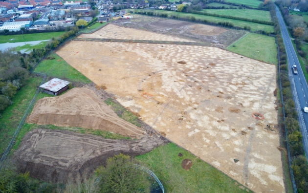 Prehistoric occupation site (comprising burnt mounds, burnt spreads, timber remains and enclosure) in SollusPrehistoric occupation site (comprising burnt mounds, burnt spreads, timber remains and enclosure) · 1236 yd
 St John’s Church of IrelandChurch · 1443 yd
 Mongavlin CastleHouse, fortified house · 1.2 mi
 St Mary's RC ChurchChurch · 1.6 mi
 Gortmonly HillMountain / peak · 1.9 mi
 BATTLE SITE: BATTLE OF THE FORDS, Northern crossing, 1689 in Ballydonaghy; Greenlaw; LeckpatrickBATTLE SITE: BATTLE OF THE FORDS, Northern crossing, 1689 · 2.0 mi
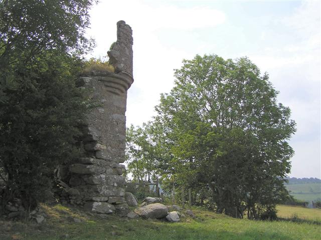 PLANTATION CASTLE: MOUNT CASTLE in MountcastlePLANTATION CASTLE: MOUNT CASTLE · 3.0 mi
 Ballee WoodWood · 4.2 mi
 Round WoodWood · 4.3 mi
 Battle of Knockavoe BattlefieldBattlefield · 4.6 mi
 Curryfree HillMountain / peak · 4.6 mi