What is recorded here
Doonooney graveyard is a shallow oval on a Wexford ridge, marked only by a broken headstone buried in a field bank. The church and most graves vanished, leaving behind a faint scarp and a wide shallow ditch that once kept the living at a distance. What remains is not a monument but a shape of forgetting, where the dead were placed and then the land took them back.
Situated on the NW side of a broad NE-SW ridge. The site of the parish church of Doonooney (WX031-029001-) is within a slightly dished oval area (dims. 60m N-S; 38m E-W) defined by a slight scarp, with traces of an external fosse (Wth 12m; D 0.2m) ENE SE. There is no evidence of the church or of burial apart from a fragment of one headstone with no inscription that is built into a field bank. The motte site (WX031-028----) is c. 100m to the NW.
Compiled by: Michael Moore
Date of upload: 28 August, 2012
The monument record does not grant public access. Check the route and ask the landowner before entering private land.
- What survives
- Recorded monument
Places near here
 Church (in ruins)Church · 1 yd
 (Site of) Doonoonen CastleCastle, motte · 167 yd
 IndicatedFairy fort / earthen ringfort · 1134 yd
 farm housefarm house · 1615 yd
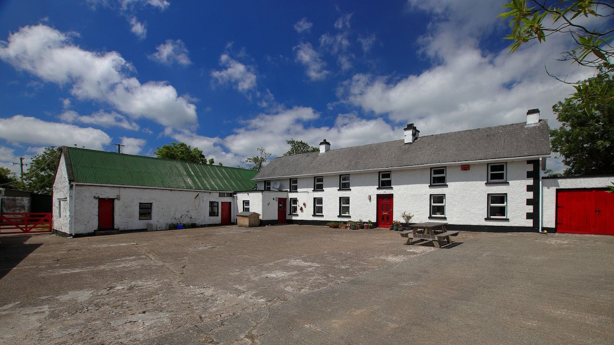 Embanked enclosureFairy fort / earthen ringfort · 1653 yd
 Camaross HillMountain / peak · 1.2 mi
 Raheennahoon HillMountain / peak · 1.8 mi
 Castle (in ruins)Castle, tower house · 1.8 mi
 Glenour MonumentMemorial · 1.8 mi
 Dick Joynt MemorialMemorial · 4.2 mi
 King's IslandIsland · 5.5 mi
 Coolcliffe HouseRuins · 7.2 mi