What is recorded here
This is regarded as the site of an early church and graveyard called Molua's church (Power 1952, 161). Situated in pasture on an E-facing slope, it is not visible at ground level.
Power, Rev. P. (1952) The placenames of the Decies. (second ed.) Cork University Press.
Compiled by: Michael Moore. Date of upload: 23rd March, 2011.
Early Christian graveyard; 6th–10th century. Associated with Saint Molua, indicating its ecclesiastical and regional historical significance in early Irish Christianity.
The monument record does not grant public access. Check the route and ask the landowner before entering private land.
- What survives
- Recorded monument
Places near here
 (Site of) Kilmaline R.C. ChapelChurch · 1 yd
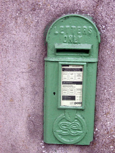 post boxpost box · 1616 yd
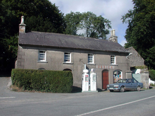 O'Brienhouse · 1626 yd
 Site of Grave YardGraveyard · 1742 yd
 Glenshelane Red WalkWalking route · 2.4 mi
 Glenshelane WoodsForest · 2.4 mi
 Coillte infoboardVisitor information · 2.7 mi
 Crow HillMountain / peak · 3.0 mi
 Black HillMountain / peak · 3.2 mi
 WaterfallViewpoint · 3.3 mi
 Sweet ChestnutSweet Chestnut · 3.5 mi