What is recorded here
Located immediately N of Malahide estuary. The site comprises a raised oval area, aligned E-W (L 27m, Wth 22m, H 1.4m-1.8m) enclosed by a modern wall which appears to have replaced an earlier earthen enclosure. A rectangular sunken feature aligned E-W, towards W end of graveyard is probably the remains of the church (L 8.0m, Wth 6.9m). The graveyard is no longer used for burials. (Healy 1975, 25). The gravyard is very overgrown with only a single gravestone visible. According to Peadar Bates, local historian, the gravestone is that of William Massey 1777, MP for Swords.
Compiled by: Geraldine Stout
Updated by: Christine Baker
Date of upload: 16 January 2015
The monument record does not grant public access. Check the route and ask the landowner before entering private land.
- What survives
- Recorded monument
Places near here
 Graveyard (Disused)Church · 3 yd
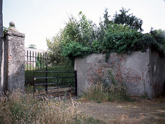 Seafield Housedemesne walls/gates/railings · 213 yd
 Tide millTide mill, unclassified · 786 yd
 Field system in LanestownField system · 950 yd
 Enclosure in LanestownEnclosure · 1063 yd
 Lanestown Castle in ruinsCastle, tower house · 1280 yd
 Church (in ruins), Graveyard (disused)Church · 1334 yd
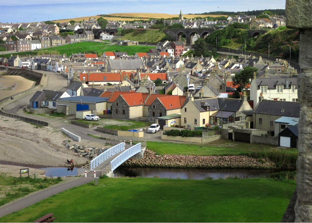 Seatown CastleCastle, tower house · 1590 yd
 Tourist InformationVisitor information · 1.1 mi
 Newbridge House and DemesneHeritage attraction · 1.1 mi
 Shannon Valley CentreVisitor information · 1.3 mi
 Turvey Allotments and Nature ReserveNature reserve · 1.6 mi