
What is recorded here
Graveyard in Ardbrack has watched Cork life since 1743, when the church first gave the land its purpose. Its rectangular stones stretch ninety metres east to west, holding names from the 1750s and later generations still placed beside them. The dead have kept this narrow field company for centuries, while the living return to visit, remember and belong.
Graveyard associated with C of I church (CO112-038002-), built in 1743. Graveyard rectangular(c. 90m E-W; c. 45m N-S), with earliest headstones dating from 1750s, still in use.
The above description is derived from the published 'Archaeological Inventory of County Cork. Volume 2: East and South Cork' (Dublin: Stationery Office, 1994). In certain instances the entries have been revised and updated in the light of recent research.
Date of upload/revision: 14 January 2009
The monument record does not grant public access. Check the route and ask the landowner before entering private land.
- What survives
- Recorded monument
Places near here
 Saint Catherine's Church (Ringcurran)church/chapel · 36 yd
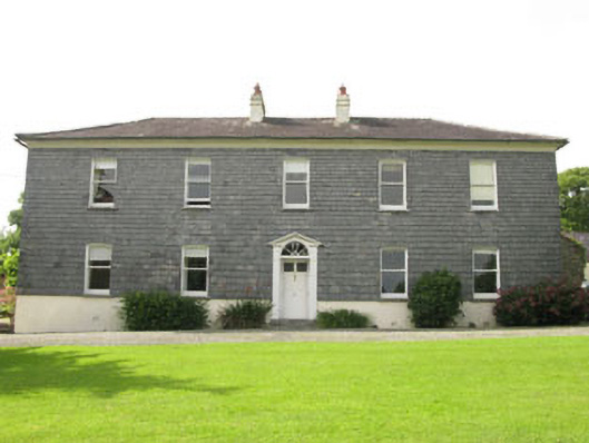 Ardbrack Househouse · 310 yd
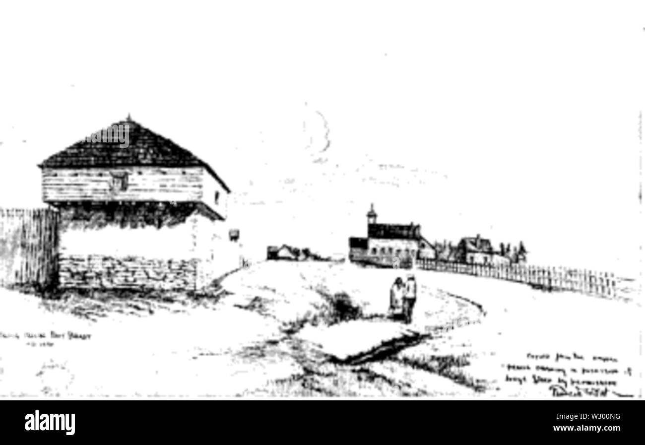 Blockhouse BatteryBlockhouse · 773 yd
 Ringcurran Burial GdBurial ground · 941 yd
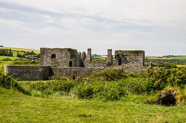 James FortVisitor information · 1284 yd
 Dock BeachBeach / strand · 1388 yd
 Eoin O ConnorGallery · 1389 yd
 Kinsale Harbour CruisesHeritage attraction · 1403 yd
 World War I MemorialMemorial · 1417 yd
 Tim & Mortimer McCarthy MemorialMemorial · 1505 yd
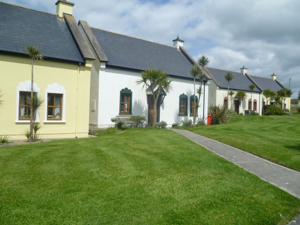 Kinsale Alms HousesVisitor information · 1599 yd
 GaolCastle, tower house · 1.0 mi
Other information
Photo: Credit not shown in the picture search · Rights wording not checked; contact us if this picture should be removed