What is recorded here
Sub-rectangular graveyard (map dims. c. 78m N-S; c. 63m E-W) with remains of a Pre-Norman rectangular church (CW012-079001-) in the N part and two cross bases (see CW012-079003- and CW012-079004-).
Compiled by: Claire Breen
Date of upload: 19 August 2011
The monument record does not grant public access. Check the route and ask the landowner before entering private land.
- What survives
- Recorded monument
Places near here
 Agha Church (in ruins)Ruins · 10 yd
 Cross in AghaCross · 11 yd
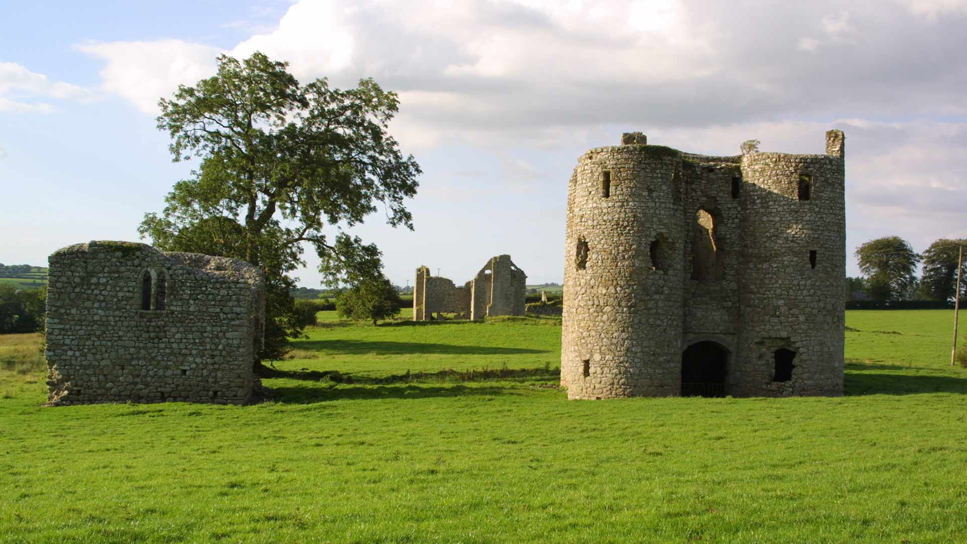 Enclosure in AghaEnclosure · 1080 yd
 Rathedan Church (in ruins)Church · 1269 yd
 Common LimeCommon Lime · 1723 yd
 Dunleckny Ho.Castle, unclassified · 1.7 mi
 CastleCastle, motte · 1.7 mi
 Sweet ChestnutSweet Chestnut · 1.8 mi
 Church, GraveyardChurch · 2.6 mi
 The Columban WayVisitor information · 2.7 mi
 Lock Keeper's House and Lodge MillsVisitor information · 3.0 mi
 Graveyard in Tomard Lower (3 Detached Portions)Graveyard · 3.4 mi