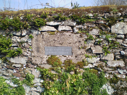
What is recorded here
Former Quaker graveyard, c. 1750, surrounded by rubble limestone wall. Wall to south-west having recent carved limestone plaque.
This site provides social and historical context, as it is a reminder of the religious diversity of the town in the eighteenth and nineteenth centuries. The solidly constructed boundary walls add further interest.
This does not grant access. Most recorded buildings are privately owned; view them only from public ground unless the owner allows entry.
Places near here
 Friends Burial GdBurial ground · 14 yd
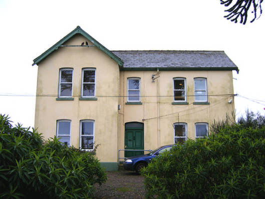 Saint Raphael'shouse · 311 yd
 Seafield Househouse · 526 yd
 Town WallHeritage attraction · 781 yd
 IndicatedGraveyard · 785 yd
 Emmet PlaceMemorial · 852 yd
 Priory Court Car ParkVisitor information · 863 yd
 Collegiate Church of Saint MaryHeritage attraction · 880 yd
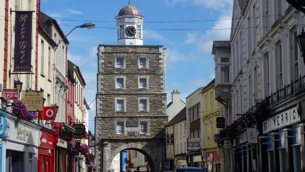 Slí na Sláinte YoughalWalking route · 882 yd
 Youghal Heritage WalkWalking route · 897 yd
 Our Lady's CollegeMemorial · 917 yd
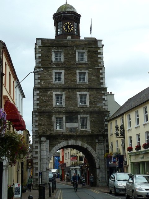 Clock TowerVisitor information · 922 yd
Other information
Photo: National Inventory of Architectural Heritage · Website use allowed for educational or private purposes with source credit