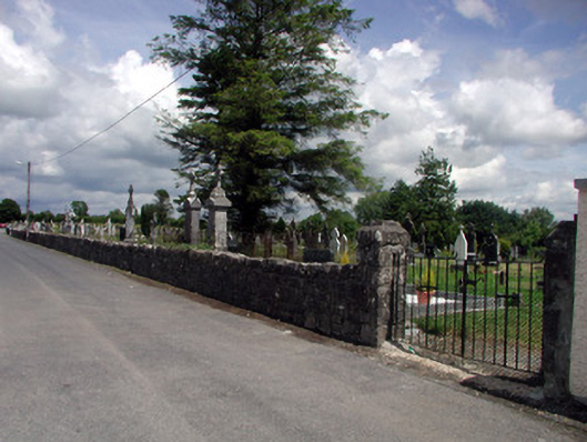
What is recorded here
Roman Catholic cemetery, established c.1840. Enclosed by squared limestone walls with three sets of squared stone gate piers with pyramidal caps and cast-iron gates. Axial path divides cemetery. Nineteenth- and twentieth-century grave markers. Entrance to nuns' graveyard to south end.
This cemetery, used since the mid-nineteenth century, forms part of the religious and social history of Mohill. The wide variety of materials used in the production of the artistically-significant grave markers such as cast-iron, marble and limestone is of technical significance.
This does not grant access. Most recorded buildings are privately owned; view them only from public ground unless the owner allows entry.
Places near here
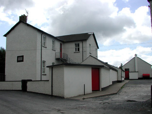 Saint Joseph's National Schoolschool · 145 yd
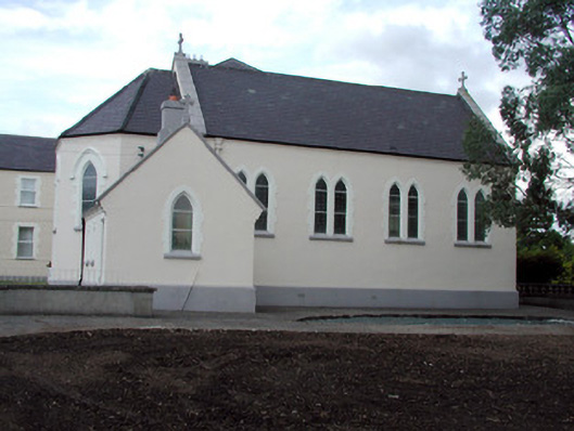 Saint Anne's Convent of Mercychurch/chapel · 153 yd
 Ch. on site of AbbeyChurch · 433 yd
 indicatedBawn · 453 yd
 Turlough O'Carolan MonumentHeritage attraction · 455 yd
 Tober RonanHoly well · 801 yd
 Giant's GraveArchaeological place · 1.8 mi
 Little IslandIslet · 2.0 mi
 Duck IslandIslet · 2.1 mi
 Lawson's CypressLawson's Cypress · 2.1 mi
 TuliptreeTuliptree · 2.1 mi
 CastleCastle, tower house · 2.3 mi
Other information
Photo: National Inventory of Architectural Heritage · Website use allowed for educational or private purposes with source credit