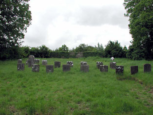
What is recorded here
Quaker burial ground with various cut-stone grave markers, c.1745-present.Rubble stone boundary wall, c.1745, to site with square-headed pedestrian gateway.Gateway, c.1745, to north comprising pair of cut-stone monolithic piers with wrought iron double gates.
This burial ground, which is well maintained and still in use, is of considerable social interest, opened for the internment of deceased members of the Quaker village of Ballitore. Of historical interest, the burial ground represents the continued expansion of the Quaker community in the mid eighteenth century. The burial ground reflects the modest ethos of the Quaker religion, with plain cut-stone grave markers distributed in a simple arrangement. The gateway to north is an attractive, if subtle, feature on the side of the road, comprising simple monolithic piers and containing double gates that are a fine example of simple early wrought iron work.
This does not grant access. Most recorded buildings are privately owned; view them only from public ground unless the owner allows entry.
Places near here
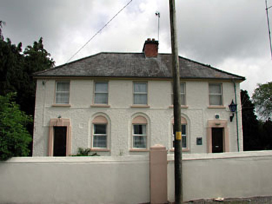 Ballitore Garda Síochána Stationgarda station/constabulary barracks · 195 yd
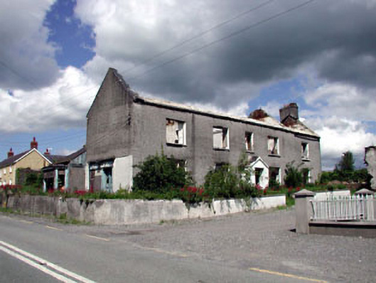 Bolgerhouse · 207 yd
 Enclosure in BallitoreEnclosure · 857 yd
 Enclosure in Crookstown UpperEnclosure · 982 yd
 CrookanurnWood · 1.2 mi
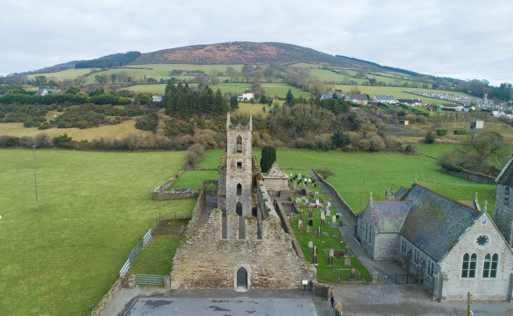 Ballycore RathCastle, motte and bailey · 1.4 mi
 Spratstown Fox CovertWood · 1.4 mi
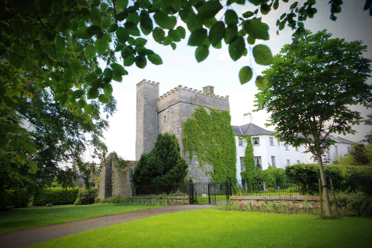 CastleCastle, unclassified · 1.5 mi
 Burtown House and GardensHeritage attraction · 2.7 mi
 Battle of Kilrushbattle · 4.4 mi
 Tinoran HillMountain / peak · 4.6 mi
 Gorden Bennet Race memorialMemorial · 4.6 mi
Other information
Photo: National Inventory of Architectural Heritage · Website use allowed for educational or private purposes with source credit