What is recorded here
Two halves of a tapering graveslab from the 16th or 17th century still flank the entrance to the Kiltullagh church carpark, broken but not forgotten. They bear elements of a plough, marking a farmer whose name has vanished but whose work remains visible in stone. The wall holds what the land once lost, turning an ordinary roadside into a quiet chamber for remembering.
Two halves of a slightly tapering graveslab are incorporated into the roadside wall leading into the carpark to the S of Kiltullagh church (GA097-114----) and graveyard (GA097-114001-). One half is to the W of the entranceway and the other is to its E. According to Higgins (1998, 1-2) they bear elements of a plough, the vocational symbol of a farmer. The graveslab dates from the 16th or 17th century.
Compiled by: Olive Alcock
Date of upload: 11 March 2020
The following images have been uploaded:
GA097-114006-_01.jpg
GA097-114006-_02.jpg
The monument record does not grant public access. Check the route and ask the landowner before entering private land.
- What survives
- Recorded monument
Places near here
 Font in Kiltullagh NorthFont · 86 yd
 Kiltullagh Housecountry house · 159 yd
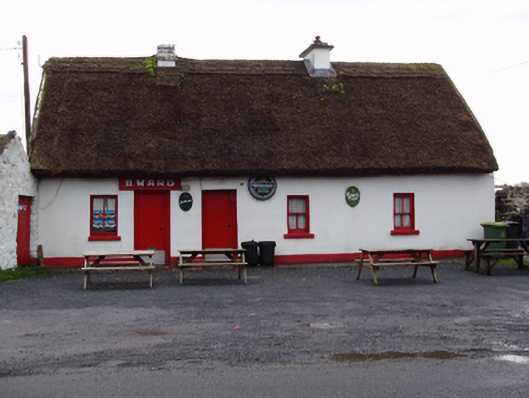 B. Wardhouse · 403 yd
 IndicatedHoly well · 917 yd
 Castle (in ruins)Castle, tower house · 1.0 mi
 MoteCastle, motte and bailey · 1.5 mi
 Moyard WoodWood · 2.9 mi
 Turoe StoneHeritage attraction · 3.7 mi
 Athenry AbbeyHeritage attraction · 4.5 mi
 Horse-chestnutHorse-chestnut · 4.7 mi
 First Battle of Athenrybattle · 4.9 mi
 Barrack IslandIslet · 6.2 mi