What is recorded here
Graveslab in Kiltullagh North stands upright inside the graveyard beside the surviving church wall, marking a grave without naming the dead. Its plain tapering stone may date to the 16th or 17th century, when local faith and death were recorded in shape rather than words. It still performs that old function: holding a life in visibility, even when the name has slipped away.
Within the graveyard (GA097-114001-), on the N side of the surviving wall of the church (GA097-114----). This tapering graveslab (H 1.14m; T 0.14m; base Wth 0.44m tapering to 0.4m) is currently used as a grave-marker and is standing upright. No decorative detail or inscription is evident. Possibly of 16th/17th-century date (Higgins 1998, 1-4).
Compiled by: Olive Alcock
Date of upload: 11 March 2020
The following image has been uploaded: GA097-114003-_01.jpg
Medieval Christian graveslab, likely 12th to 16th century. It is significant as a surviving funerary monument from a period of active ecclesiastical use in the area.
The monument record does not grant public access. Check the route and ask the landowner before entering private land.
- What survives
- Recorded monument
Places near here
 Font in Kiltullagh NorthFont · 1 yd
 Kiltullagh Housecountry house · 152 yd
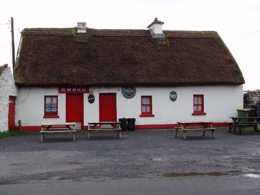 B. Wardhouse · 483 yd
 IndicatedHoly well · 838 yd
 Castle (in ruins)Castle, tower house · 1.1 mi
 MoteCastle, motte and bailey · 1.5 mi
 Moyard WoodWood · 2.9 mi
 Turoe StoneHeritage attraction · 3.8 mi
 Athenry AbbeyHeritage attraction · 4.4 mi
 Horse-chestnutHorse-chestnut · 4.7 mi
 First Battle of Athenrybattle · 4.9 mi
 Barrack IslandIslet · 6.3 mi