What is recorded here
Killora preserves five graveslabs from the 16th and 17th centuries, including a broken 1619 panel whose latticework still catches the eye. Its unfinished edges and incomplete numeral suggest a carver who stopped, or a painter who would have finished the design in colour. The slab lies loose beside its plain lower section, waiting to be reimagined as one long surface for the person it marked.
This is one of five 16th/17th century recumbent graveslabs that lie within the church (GA104-151001-). This broken slab (L 0.91m by 0.58m Wth) is lying loose and comprises a panel of latticework below which are two smaller panels bearing the date 1619 (left) and IHS surmounted by the date 1619 (right). It is described by Chapple (1995, 19, no. 18) as follows: ‘The whole of the upper portion of the stone is carved with a relatively loose, false relief latticework based on the intersection of lozenge, saltire cross, and Greek cross shapes. The four sides of the panel where these features intersect are marked by semi-circles, with a central circle. Each of the corners also bears a quadrant circle. A small false relief cross with expanded terminals springing from the cross-bar of the “H" of the 'IHS' monogram. The upper left corner is broken, removing the majority of the quadrant-circle from this portion. Some aspects of the carving give the impression that the stone was left unfinished. These include a number of the triangular sections between the intersections of the circular portions and the straight bands are left uncarved. The outlines of some being only lightly incised. Further, the '6' in the upper version of the date '1619' is also unfinished. However, it is likely that this was originally painted, thus the outlines of the design were all that was necessary. Lying nearby is what appears to have been the lower portion of this stone. It is uninscribed and undecorated, and measures 1.14m long (max.) x 0.58m wide, giving a stone that would have originally measured c. 1.83m long.’ The carving on this slab is comparable in style to late 16th and earlier 17th century examples.
Compiled by: Paul Walsh
Date of upload: 10 January 2014
The attached image is uploaded courtesy of Robert M. Chapple.
The monument record does not grant public access. Check the route and ask the landowner before entering private land.
- What survives
- Recorded monument
Places near here
 IndicatedFairy fort / ringfort · 676 yd
 Roo Castle (in ruins)Castle, tower house · 707 yd
 LisdooFairy fort / stone ringfort · 833 yd
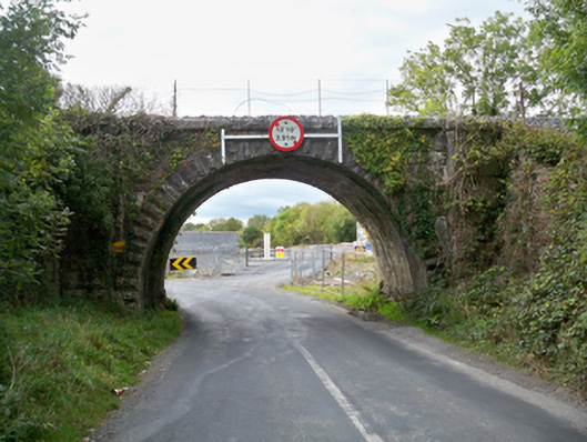 Aggard Bridgebridge · 854 yd
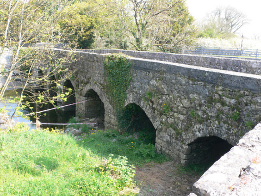 bridgebridge · 921 yd
 Strongfort Castle (in ruins)Castle, tower house · 1.2 mi
 Moyard WoodWood · 3.1 mi
 Kilcornan WoodWood · 4.9 mi
 MweenisharanIslet · 8.6 mi
 LissataggartFairy fort / earthen ringfort · 841 yd
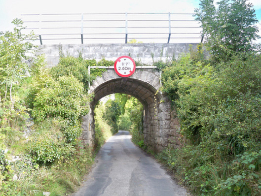 Grenage Bridgebridge · 961 yd
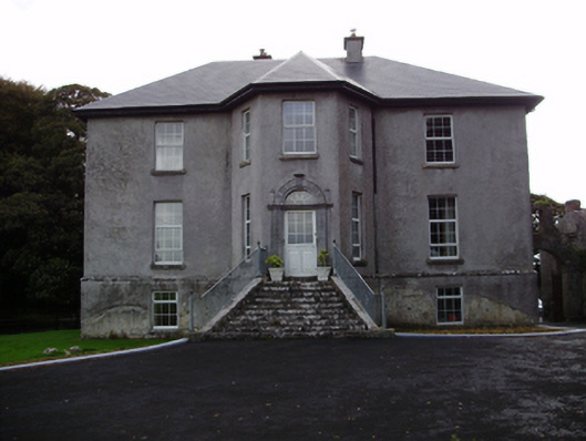 Aggard Housecountry house · 1158 yd