What is recorded here
In the W portion of a graveyard (TS060-097009-) associated with the medieval church of Relickmurry (TS060-097004-) which is not visible at ground level. A tapering limestone graveslab (L 0.8m; Wth at top 0.37m; Wth at base 0.3; T 0.16) with a chamfered edge (Wth 0.05m) defined by a slight horizontal groove around the base of the chamfer. The smooth face of the slab is decorated with a cross of four circles, joined by semi-circles at each cardinal point. Each circle or semi-circle on the cross, cross shaft and base consists of a double incised line. The double incised cross shaft has a circular knop below the cross head and the base consists of a trefoil composed of circles. There is no visible trace of an inscription. The form and decorative style of the graveslab suggests a 13th/14th century date. Another graveslab (TS060-097018-) of similar date lies adjacent to it.
Compiled by: Jean Farrelly
Date of upload: 12 June 2013
This remains an important historical record, but the official description says the monument is no longer visible or has been destroyed. The monument record does not grant public access. Check the route and ask the landowner before entering private land.
- What survives
- No visible remains or recorded as destroyed
Places near here
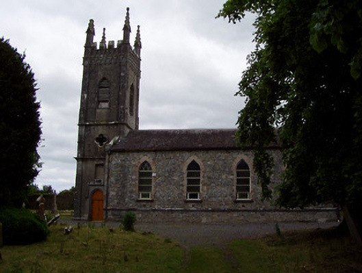 Golden Church (Relickmurry and Athassel)church/chapel · 40 yd
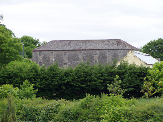 mill (water)mill (water) · 83 yd
 GoldenSettlement cluster · 137 yd
 Castle in ruinsCastle, tower house · 220 yd
 Bawn in CastleparkBawn · 490 yd
 Cliff-edge fort in Mantlehill GreatCliff-edge fort · 1217 yd
 Athassel PrioryHeritage attraction · 1.4 mi
 Hore AbbeyHeritage attraction · 3.8 mi
 Dundrum Woods (Marl Bog)Forest · 5.0 mi
 European ashEuropean ash · 5.1 mi
 I.R.A. 3rd. Tipperary Brigade MemorialMemorial · 7.0 mi
 The Maid of ErinMemorial · 7.8 mi