What is recorded here
The parish church of St Mary's (WX037-032011-) is situated on a W-E toe of relatively high ground within a D-shaped graveyard (dims c. 60m NE-SW; c. 40m NW-SE) defined by masonry walls, with the straight side at SW. There are no medieval memorial monuments in the graveyard. Repairs to the graveyard wall SE-SW received archaeological supervision (E004450) and a three small necessary excavations were conducted inside the wall which uncovered some burials which were left in situ (Gregory 2012; excavations.ie 2012:636). Unlicensed monitoring by E. Barry and M. Greiner of a water-mains trench (Wth 0.4-0.8m; D 0.8-1.2m) along St. Michael’s Lane from outside the graveyard boundary wall at E to Bride St. (L c. 35m) produced no archaeological material (excavations.ie 2021:043).
Compiled by: Michael Moore
Date of upload: 20 December, 2012
Amended: 23 November 2020; 4 November 2021
The monument record does not grant public access. Check the route and ask the landowner before entering private land.
- What survives
- Recorded monument
Places near here
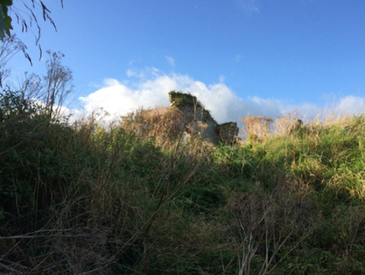 graveyard/cemeterygraveyard/cemetery · 10 yd
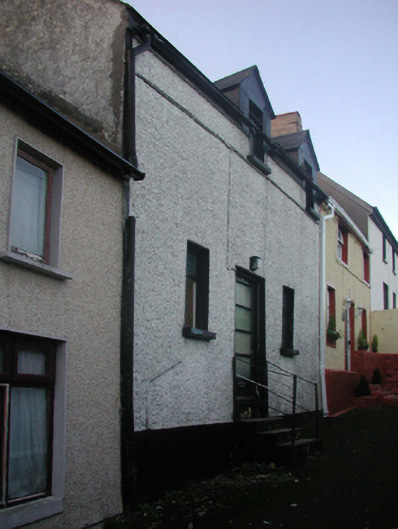 church/chapelchurch/chapel · 31 yd
 Town WallTown defences · 96 yd
 Structure in WexfordStructure · 104 yd
 Michael CollinsMemorial · 126 yd
 Halla KennyMemorial · 180 yd
 Siege of Wexfordsiege · 313 yd
 Sack of Wexfordsiege · 316 yd
 The Collins-Grant GalleryGallery · 391 yd
 Three Sisters River CruisesHeritage attraction · 464 yd
 Site of CastleCastle, unclassified · 1.9 mi
 Castle (in ruinis)Castle, tower house · 2.1 mi