
What is recorded here
Archaeological testing (02E0205) on the W side of Stonebridge Lane uncovered stratigraphy that was more than 2m deep throughout. Most of the material at the upper levels was post-medieval redeposit, probably in an effort to raise ground levels. The lower deposits were estuarine in character, and a short section of the top of a wall (Wth 0.35m; L 2.2m) that was bonded with lime mortar was recorded in the silts. The silts relate to the estuary of the Bishop’s Pill, a culverted section of which had been identified on another site c. 30m to the NE associated with midden material (WX037-032024-). (Stafford 2002; McLoughlin 2004)
Compiled by: Michael Moore
Date of upload: 20 December, 2012
The monument record does not grant public access. Check the route and ask the landowner before entering private land.
- What survives
- Recorded monument
Places near here
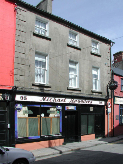 Michael Broadershouse · 52 yd
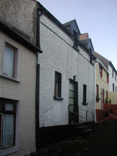 church/chapelchurch/chapel · 74 yd
 Town WallTown defences · 87 yd
 Quay in WexfordQuay · 154 yd
 Siege of Wexfordsiege · 213 yd
 Sack of Wexfordsiege · 216 yd
 Michael CollinsMemorial · 230 yd
 Halla KennyMemorial · 254 yd
 The Collins-Grant GalleryGallery · 472 yd
 Three Sisters River CruisesHeritage attraction · 504 yd
 Site of CastleCastle, unclassified · 1.8 mi
 Castle (in ruinis)Castle, tower house · 2.1 mi
Other information
Photo: Credit not shown in the picture search · Rights wording not checked; contact us if this picture should be removed