What is recorded here
Grave Yd. stands beside the sixteenth-century Fort Governor in Daingean, marking the buried heart of a town that never flourished. The graveyard may date to the original plantation when Sir William Brabazon first claimed the land, holding the names of those lost before the O'Conors burned the settlement during the Jacobite wars. A nineteenth-century church was later built inside the yard, forcing the living to walk among the dead rather than build elsewhere. The stones remain silent about who they cover, but their age suggests they witnessed the birth and failure of an entire colonial experiment.
The present town of Daingean had its origins in plantation policy commencing with the building of Fort Governor (OF018-006001-) by Sir William Brabazon in 1546, around which a settlement steadily grew despite attacks from the O'More's and O'Conor's. With the shiring of the territory of Ui Failge in 1556, Fort Falkland and its settlement was renamed Philipstown in honour of Philip II of Spain. In 1567 it was incorporated by charter and granted a weekly market. The corporation was requested to fortify the town with fosses and stone wall and although nothing of these walls survive, there are indications of the former fosse on the E, S and W sides of the town. A further grant of c. 1570 refers to 12 messuages and a water mill (OF018-006006-) within it and in 1598 there is mention of a gaol (OF018-006008-). The street plan is linear, Main St. running on a N-S axis off which the burgage plots extended. Additional charters were granted in 1673 and 1688-9, but this walled town unlike its counterpart at Maryborough [Portlaoise] never really flourished and it received a setback, when it was burnt by the O'Conors during the Jacobite wars. (Comerford 1885, 303; Bradley 1986, 35-8; Loeber 1991, 16-18)
19th century C of I church built inside graveyard to the N of the sixteenth century Fort Governor, this graveyard may date back to the sixteenth century and may have been established when the town was planted in the sixteenth century.
Compiled by: Caimin O'Brien.
Date of upload: 23 May 2011
The monument record does not grant public access. Check the route and ask the landowner before entering private land.
- What survives
- Recorded monument
Places near here
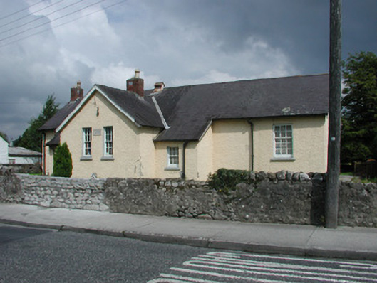 schoolschool · 55 yd
 Church in Townparks (phillipstown Lower By.)Church · 88 yd
 Fort Castle (in Ruins)Bawn · 109 yd
 Enclosure in Townparks (phillipstown Lower By.)Enclosure · 255 yd
 Town defences in Townparks (phillipstown Lower By.)Town defences · 307 yd
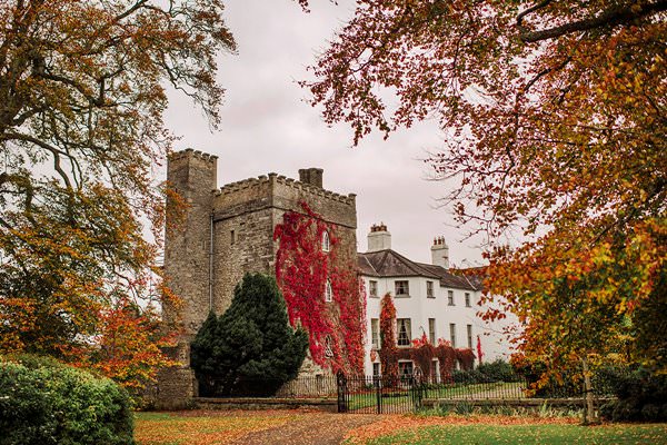 Castle Barnagh (Site of)Bawn · 1288 yd
 Mountlucas Wind Farm Visitors CentreVisitor information · 3.2 mi
 Graveyard in BallycommonGraveyard · 3.3 mi
 Croghan Hill WalkVisitor information · 3.3 mi
 Finnrenashark Holy WellSpring · 3.3 mi
 Croghan HillMountain / peak · 3.7 mi
 Children's WellSpring · 3.7 mi