What is recorded here
In rolling pastureland. This subrectangular graveyard (40m E-W; 30m N-S) is enclosed by a modern stone wall. Access is gained via a gateway and stile in the S wall. A medieval church (GA097-148001-) occupies the NE sector. The graveyard is heavily overgrown, particularly the N end where the graves are completely obscured. Legible headstones date from the 19th and 20th centuries and it is still in use.
Compiled by: Olive Alcock
Date of upload: 7 April 2020
The monument record does not grant public access. Check the route and ask the landowner before entering private land.
- What survives
- Recorded monument
Places near here
 IndicatedBawn · 415 yd
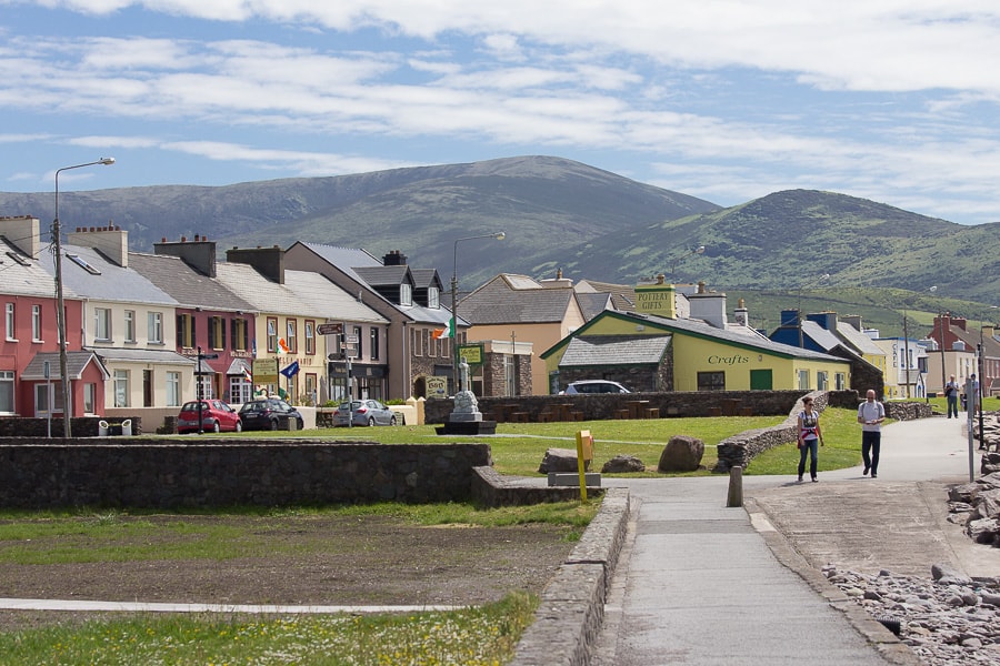 Quarry in CaherhenryhoeQuarry · 824 yd
 Man-made underground passage in CaherhenryhoeMan-made underground passage · 984 yd
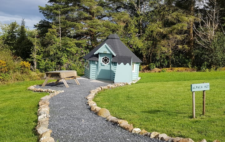 Hut site in Ballybaun (lackalea Ed)Hut site · 1133 yd
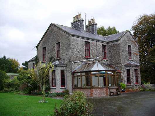 Tooluban Househouse · 1279 yd
 Bawn in Cahernamuck WestBawn · 1.3 mi
 Turoe StoneHeritage attraction · 2.0 mi
 Barrack IslandIslet · 3.4 mi
 Blake's IslandIslet · 3.4 mi
 Long PointHeadland · 4.3 mi
 Moyard WoodWood · 4.5 mi
 Scalpeen RockNamed rock · 8.3 mi