
Places near here
Photo credits
- Hajotthu, Wikimedia Commons · CC BY-SA 3.0
- Espresso Addict, Wikimedia Commons · CC BY-SA 2.0
- dalvenjah on Flickr, Wikimedia Commons · CC BY-SA 2.0
- National Inventory of Architectural Heritage
- Dr Charles Nelson, Wikimedia Commons · CC BY-SA 2.0
- Britishfinance, Wikimedia Commons · CC BY-SA 4.0
- Kahuroa, Wikimedia Commons · Public domain
- Patrice78500, Wikimedia Commons · Public domain
- Photographer not named by Diamond Hill Community Centre, diamondhillcommunitycentre.ie
- Dr. Charles Nelson, Wikimedia Commons · CC BY-SA 2.0
 Kylemore AbbeyMausoleum · 938 yd
Explorer Tom Kylemore Abbey’s mausoleum is the quiet cousin at the wedding, wearing yellow bricks that scream 'I’m different'. It…
 BenbaunMountain / peak · 1285 yd
Explorer Tom Benbaun would explain the 1800s to a teenager by saying: 'It was basically a group chat where everyone shouted and…
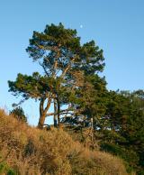 Monterey Pine1301 yd
Explorer Tom Monterey Pine in County Galway once saw a fox try to climb it but get stuck halfway up because the branches were too…
 Kylemore Farm HouseSteward's house · 1392 yd
Explorer Tom Kylemore Farm House would teach history by making you stand outside in the rain until you understood Tudor Revival.…
 Cnoc BreacMountain / peak · 1488 yd
Explorer Tom Cnoc Breac is playing hide-and-seek between Benbrack and Knockbrack, hiding behind a deer fence like it's got somewhere…
 DoughruaghMountain / peak · 1.2 mi
Explorer Tom Doughruagh in County Galway nearly made the big time once, but then it decided to play it cool and let the fame slip…
 BenbrackMountain / peak · 1.3 mi
Explorer Tom Benbrack sits among Connemara's Twelve Bens looking as though somebody dropped a speckled stone into a gathering of…
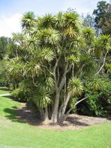 Cabbage tree1.5 mi
Explorer Tom Cabbage tree in County Galway looks like it’s waiting for a bishop who refused to visit because the leaves were too…
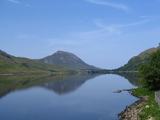 Binn GhuaireMountain / peak · 1.6 mi
Explorer Tom Diamond Hill glitters, but I have found no jeweller at the top. Binn Ghuaire, better known as Diamond Hill, rises 442…
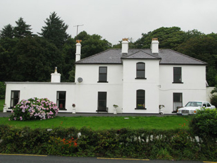 Kylemore HouseHunting/fishing lodge · 1.7 mi
Explorer Tom Kylemore House is perched there looking all noble while Lord Guinness's ghost probably judges your shoe choices. It…
 Letterfrack, Renvyle GAAGAA ground · 2.8 mi
 Connemara National ParkNational park · 2.8 mi
Explorer Tom I came to Connemara National Park ready to admire the mountains and got distracted by plants that eat their dinner.…
More archaeology and monuments in County Galway · All of County Galway

What do you know about this place?Tap to add a comment or ask a question