What is recorded here
Grave Yd stands atop Cow hill in County Cork, a triangular yard where low uninscribed stones align beneath an open sky. It remains active beside the ruined Durrus Church, binding living memory to ancient stone. The place does not pretend to grandeur; it keeps company with the dead through pasture, rain and time.
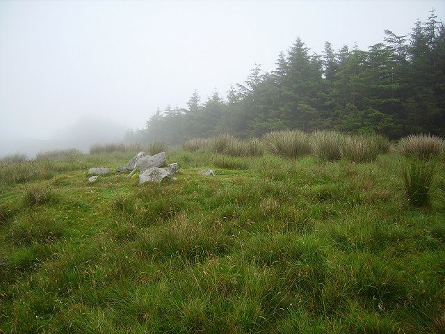
In pasture, atop Cow hill. Triangular area enclosed by stone-faced earthen bank; gate to N gives access to yard, still in use. Lines of low uninscribed stones on N-S axis; a few 19th and 20th century headstones; one family burial vault. Ruins of Durrus Church (CO131-007002-) at N end; also contains cross inscribed stone (CO131-007003-).
The above description is derived from the published 'Archaeological Inventory of County Cork. Volume 1: West Cork' (Dublin: Stationery Office, 1992). In certain instances the entries have been revised and updated in the light of recent research.
Date of upload/revision: 14 January 2009
A Neolithic passage tomb, dating to approximately 3500–2500 BCE, likely reused in the Bronze Age. Its location atop Cow Hill suggests a strategic and ceremonial significance in the prehistoric landscape.
The monument record does not grant public access. Check the route and ask the landowner before entering private land.
- What survives
- Recorded monument
Places near here
 Durrus Church (in Ruins)Church · 16 yd
 Boulder-burial in BallycommaneBoulder-burial · 1372 yd
 IndicatedFairy fort / earthen ringfort · 1.0 mi
 farm housefarm house · 1.1 mi
 Barnageehy Loop WalkWalking route · 1.3 mi
 Derrylahard EastMountain / peak · 1.5 mi
 Scart Castle (Site of)Castle, unclassified · 1.5 mi
 KilbreaghMountain / peak · 2.2 mi
 Seskin ViewViewpoint · 2.3 mi
 GinkgoGinkgo · 2.8 mi
 Bantry HouseHeritage attraction · 2.9 mi
 Durrus CheeseHeritage attraction · 3.0 mi