What is recorded here
Enclosing the whole church are the partial remains of a wall which is marked on the 6-inch map, this is probably the graveyard wall. There are no headstones visible but
there are many protruding stones which may be grave markers.
The above description is derived from the published 'Archaeological Inventory of County Offaly' (Dublin: Stationery Office, 1997). In certain instances the entries have been revised and updated in the light of recent research.
Date of upload: 23 May 2011
The monument record does not grant public access. Check the route and ask the landowner before entering private land.
- What survives
- Recorded monument
Places near here
 European ashEuropean ash · 19 yd
 Stone CrossCross, High cross · 22 yd
 Burial mound in LoughaunBurial mound · 172 yd
 Coleraine Flour MillMill, corn · 195 yd
 Castle in ruinsCastle, unclassified · 1545 yd
 Partially hachuredBawn · 1.1 mi
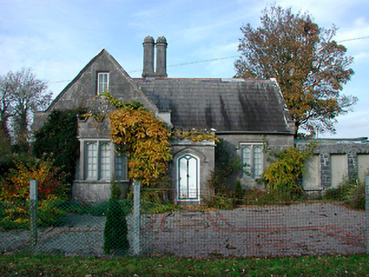 Durrow Abbeygate lodge · 1.2 mi
 Ballyduff WoodForest · 1.4 mi
 St. Columba's WellSpring · 1.6 mi
 Trumpet HillMountain / peak · 2.0 mi
 Christ's WellSpring · 3.0 mi
 Grand Canal WayWalking route · 3.5 mi