What is recorded here
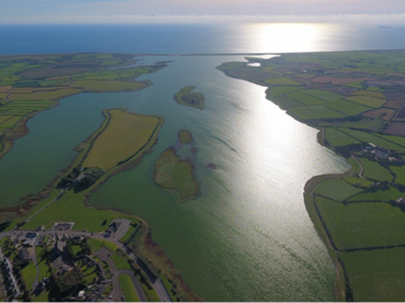
Located towards the N end of what was once a triangular island (max. dims c. 700m N-S; c. 220m E-W at S) with the apex at N in Lady’s Island Lough (dims c. 3.5m NNE-SSW; c. 500m-1.5km E-W), a lake that was called Lough Togher in the 17th century (Hore 1862, 87). Salt water seeps through the bar separating the lake from the sea, and sometimes the bar is breached, so the lough is a semi-salt-water lagoon. The parish church of Lady's Island (WX053-013001-) is within a subcircular or D-shaped graveyard (dims c. 38m NE-SW; 35m NW-SE) defined by masonry walls with straight sides at NE and SE.
Compiled by: Michael Moore
Date of upload: 25 March, 2014
The monument record does not grant public access. Check the route and ask the landowner before entering private land.
- What survives
- Recorded monument
Places near here
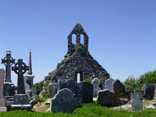 graveyard/cemeterygraveyard/cemetery · 2 yd
 Church in ruinsChurch · 7 yd
 Not idicatedGatehouse · 75 yd
 IndicatedHoly well · 94 yd
 TowerBawn · 138 yd
 Lady's IslandVisitor information · 261 yd
 ScargeenIsland · 285 yd
 InishIsland · 996 yd
 CastleHouse, fortified house · 1554 yd
 Shernock Hill/Knocks HillMountain / peak · 1.4 mi
 Carne BeachBeach / strand · 1.5 mi
 Lifeboat MemorialMemorial · 1.6 mi