What is recorded here
Grave Yd. is a triangular Kerry graveyard where the oldest visible markers date to the 1840s, though the church enclosure appears on the 1846 map. A chest-tomb with a coat of arms sits west of the church, suggesting one family wanted to be remembered longer than the others. The stone wall still gives the place its shape, while the dead keep what the survey left unnamed.
A roughly triangular area (c. 80m E-W; c. 50m N-S at the E end) enclosed by a stone wall with the main entrance at W. There is a smaller entrance for pedestrians in the N side. The oldest gravemarkers noted date to the 1840s. A chest-tomb bearing a coat of arms is to the W of the church. The graveyard is not named on the 1846 OS 6-inch map although a triangular enclosure around the church is indicated.
Compiled by: Elizabeth Byrne, Ursula Egan and Sheila Ronan, Archaeological Survey Unit, University College, Cork.
Date of upload: 31 January 2011
The monument record does not grant public access. Check the route and ask the landowner before entering private land.
- What survives
- Recorded monument
Places near here
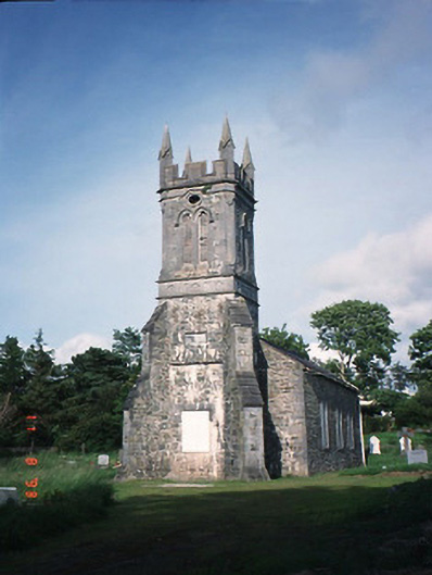 Aghadoe Churchchurch/chapel · 11 yd
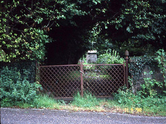 Aghadoe Gardenshouse · 299 yd
 Enclosure in ParkavonearEnclosure · 1070 yd
 Enclosure in Dromin (magunihy By., Lahard Ed)Enclosure · 1080 yd
 Parkavonear CastleCastle · 1265 yd
 Aghadoe Early Medieval Ecclesiastical SiteHeritage attraction · 1303 yd
 Rabbit or Brown IslandIslet · 1.7 mi
 Lamb IslandIsland · 1.8 mi
 European YewEuropean Yew · 2.1 mi
 Circular WalkWalking route · 2.1 mi
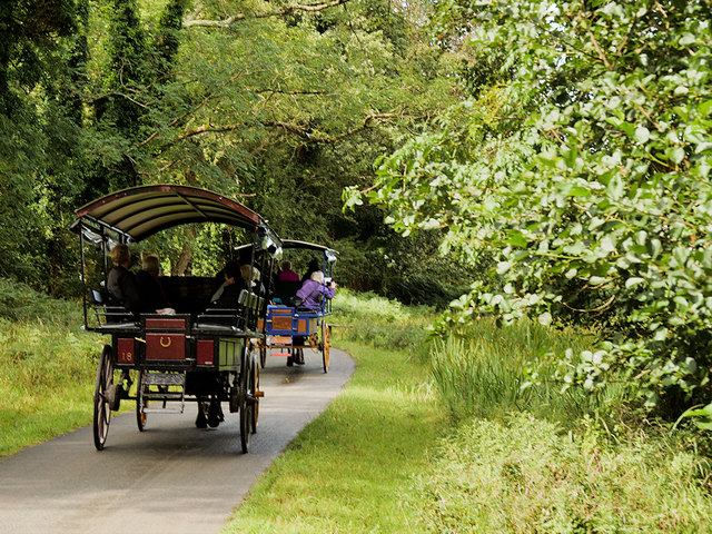 Ross Castle RingwayWalking route · 2.3 mi
 Pallis Castle (Site of)Castle, tower house · 2.4 mi