
What is recorded here
Situated on natural hillock in undulating grassland with good views especially to W where it overlooks Killua Castle and St Lucy's Well (WM009-008----) 616m and 471m to the NW respectively. Large irregular-shaped graveyard (approx. dims. 87m NE-SW; 60m NW-SE) enclosed by a bank and waterlogged fosse or drain, except…
Read the whole record
From the National Monuments Service (Archaeological Survey of Ireland) record WM009-043001
Places near here
Photo credits
- National Inventory of Architectural Heritage
- Maker not stated on source page, castlesandfamilies.com
- Eric Jones, Geograph · CC BY-SA 2.0
- Maker not stated on source page, www.flickr.com
- Maker not stated on source page, www.dreamstime.com
- Maker not stated on source page, theirishaesthete.com
- Maker not stated on source page, www.irishcentral.com
- Maker not stated on source page, www.pinterest.com
- surrealpenguin, Wikimedia Commons · CC BY-SA 2.0
 church/chapel37 yd
Explorer Tom The church in Knock Killua is a sham ruin that used to be a real churchyard, so it’s like wearing a costume on…
 Killua CastleIcehouse · 230 yd
Explorer Tom Killua Castle's little icehouse thinks it's too fancy for a normal fridge. Legend says there's a tunnel straight to the…
 Killua Castle Deer ParkPark · 699 yd
Explorer Tom Killua Castle Deer Park in County Westmeath is privately held but the deer inside seem to think they own the whole…
 Laurence LodgeWorker's house · 1106 yd
Explorer Tom Laurence Lodge worker's house in Killua would order triple chips and a pint if it had hands. It’s built from local…
 Davin's WoodWood · 1141 yd
Explorer Tom Davin’s Wood has a rabbit population that thinks they own the place now and are very polite about it. They’ve mapped…
 bridge1641 yd
Explorer Tom Bridge in Clonmellon spans a tiny stream that used to be a mill race, but I suspect the mapmakers just guessed and got…
 Isaac's WellFolly · 1704 yd
Explorer Tom Isaac's Well in Clonmellon is a folly built by a politician who thought the village needed more fancy stones and less…
 Clonmellon GraveyardGraveyard · 1.2 mi
Explorer Tom Clonmellon Graveyard in County Westmeath claims its unlikely celebrity friend was a famous pirate who just needed a…
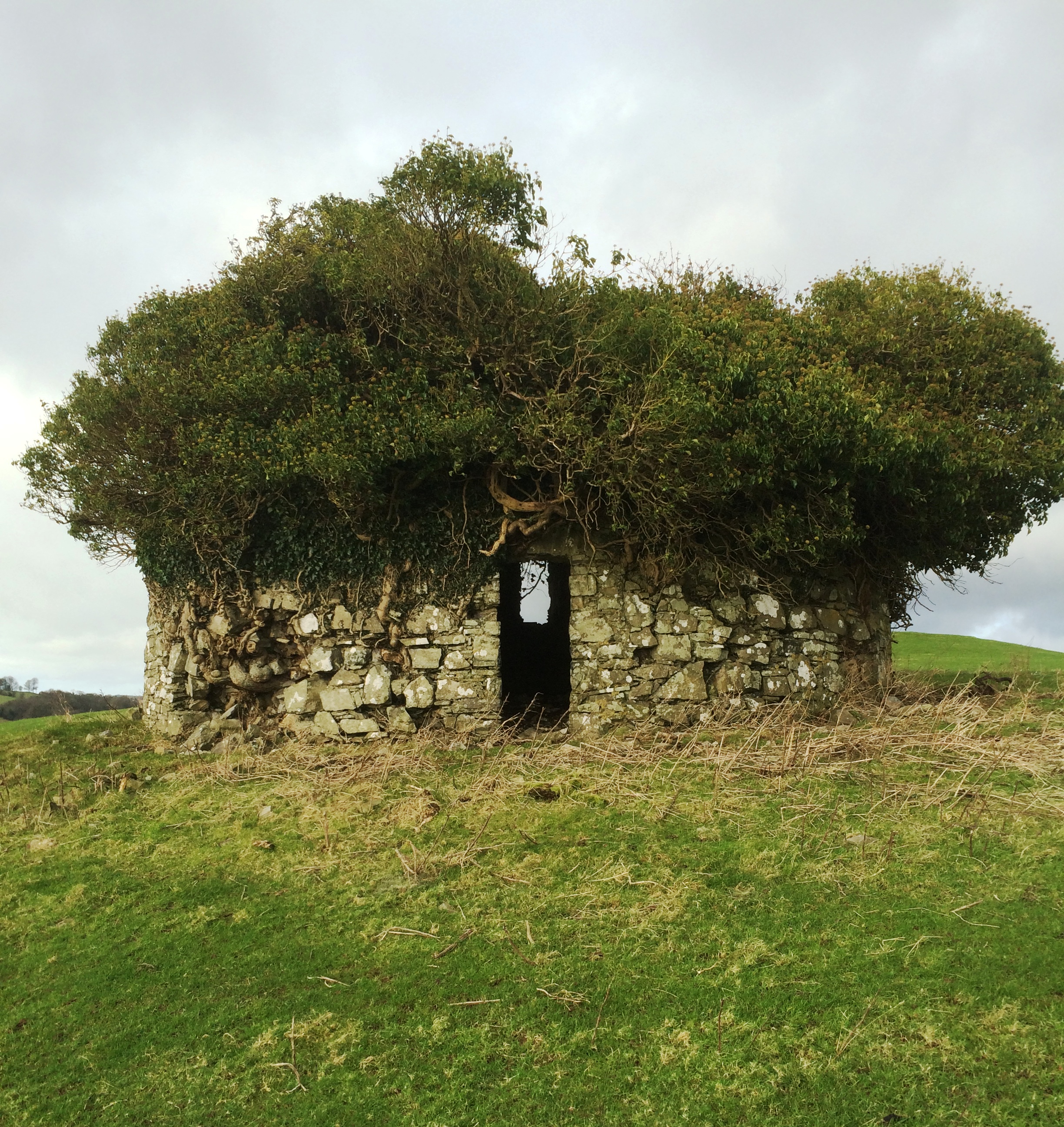 Fairy fort / earthen ringfort in Kilrush UpperFairy fort / earthen ringfort · 1.2 mi
Explorer Tom Kilrush Upper’s fairy fort had a bad poem written about it that rhymed 'mud' with 'blood', which really ruined its…
 Dervotstown CastleCastle, tower house · 1.7 mi
Explorer Tom Dervotstown Castle is gone, but its spirit lives on in a very confused scarecrow that thinks it's still teaching…
 Stone CrossCross · 1.9 mi
Explorer Tom Stone Cross in Kilskeer has a bit of window tracery on top, like it’s trying to be fancy. I bet it has a jealous twin…
 Persian Walnut2.1 mi
Explorer Tom Persian Walnut in County Westmeath wants 'Lived Large' on its tombstone because it has been producing some seriously…
More archaeology and monuments in County Westmeath · All of County Westmeath

What do you know about this place?Tap to add a comment or ask a question