What is recorded here
Situated at the E side of the SE-NW R154 road from Athboy to Kilskeer, c. 1 km SE of the village of Kilskeer. It is marked only on the 1908-1911 ed. of the OS 6-inch map. It was described in 1940 as ‘two square blocks 2 feet 6 inches square, 9 inches thick (c. 0.75m; H c. 0.22m), of which the topmost has a rectangular socket. On top is a bit of window-tracery, supported at the back by another bit of the same jamb. The sections are complex and the date of the stones probably late (SMR file).’ No trace of this feature remains.
Compiled by: Michael Moore
Date of upload: 10 August, 2016
The monument record does not grant public access. Check the route and ask the landowner before entering private land.
- What survives
- Recorded monument
Places near here
 Stone CrossCross, Wayside cross · 639 yd
 IndicatedHoly well · 1100 yd
 Round TowerCastle, tower house · 1307 yd
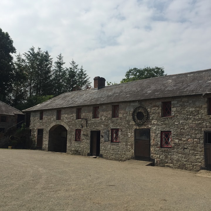 Casserly's WoodWood · 1.2 mi
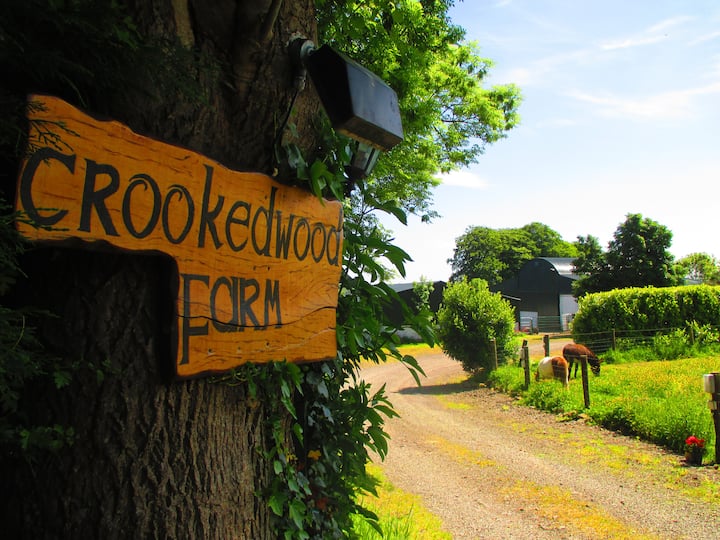 Rathouse WoodWood · 1.3 mi
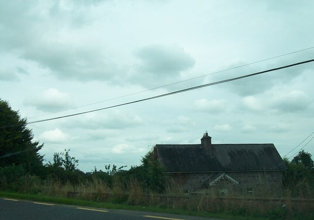 Laurence Lodgeworker's house · 1.3 mi
 CloncatMountain / peak · 1.5 mi
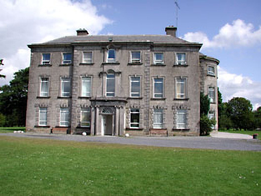 Drewstown Housecountry house · 1.7 mi
 Drewstown LittleMountain / peak · 1.9 mi
 BoglandMemorial · 2.4 mi
 Causey FarmHeritage attraction · 2.9 mi
 FarmaphobiaHeritage attraction · 2.9 mi