What is recorded here
Situated at the centre of a large wheat field on the summit of a wide, slightly domed ridge with steeper slopes to the N and S. The church (WI035-043001-), at the N end of the graveyard, is poorly preserved and so totally overgrown that it is only possible to observe its position and estimate the surviving height of the coarse, apparently unmortared walls (H c. 1m). It is marked on the 1838 OS 6-inch map and the OS Letters (O'Flanagan 1928, 131) give its dimensions as c. 9m x c. 4.5m. The graveyard (WI035-043002-) is a quadrangular enclosure (dims. c. 45m N-S; c. 35m E-W) defined by an earth and stone bank (Wth 2m; int. H 1-1.2m; ext. H c. 1.4-1.7m) faced externally by a vertical drystone wall. The N, E and S walls are straight with a modern gate towards the S end of the E wall. The W wall is slightly curved.
The above description is derived from the published 'Archaeological Inventory of County Wicklow' (Dublin: Stationery Office, 1997). In certain instances the entries have been revised and updated in the light of recent research.
Date of upload: 06 September 2013
The monument record does not grant public access. Check the route and ask the landowner before entering private land.
- What survives
- Recorded monument
Places near here
 Holy WellHoly well · 80 yd
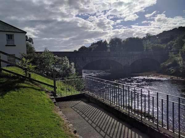 Enclosure in Kilmagig LowerEnclosure · 541 yd
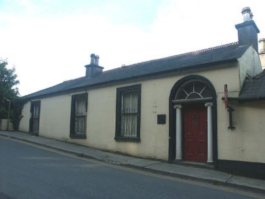 Avoca Househouse · 759 yd
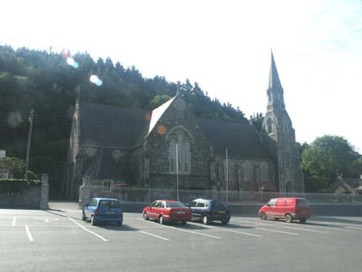 Catholic Church of Saint Mary and Saint Patrickchurch/chapel · 764 yd
 Site of CastleCastle, unclassified · 1392 yd
 Sweet ChestnutSweet Chestnut · 1.6 mi
 Scots PineScots Pine · 1.7 mi
 Woodenbridge World War One MemorialMemorial · 2.1 mi
 Meeting of the WatersHeritage attraction · 2.4 mi
 Viewing TowerHeritage attraction · 4.0 mi
 Castle (in ruin)Castle, Anglo-Norman masonry castle · 4.4 mi
 Battle of Arklowbattle · 4.5 mi