What is recorded here
A roughly rectangular area (max. dims. 60m WNW-ESE; 36m SSW-NNE) enclosed by a stone wall and accessed through a gate and stile in the W wall. The E half of the S wall curves outwards in an arc, possibly following the line of an earlier enclosure (SL036-021005-). There are grave-markers and headstones throughout which are 18th-, 19th- and 20th-century in date. In the NW quadrant is the ruin of the 18th-century C of I parish church of Kilmacteige, on the site of a medieval parish church (SL036-021001-). A cross-slab (SL036-021004-) is located in the SE quadrant and Wood-Martin (1892, 357, n. 1) recorded a number of possible bullaun stones (SL036-021006-) in the immediate vicinity of the church.
The above description is derived from the published 'Archaeological Inventory of County Sligo' compiled by Ursula Egan, Elizabeth Byrne, Mary Sleeman with Sheila Ronan and Connie Murphy (Dublin Stationery Office, 2005).
Date of upload: 18 January 2008
The monument record does not grant public access. Check the route and ask the landowner before entering private land.
- What survives
- Recorded monument
Places near here
 Church in KilmacteigeChurch · 14 yd
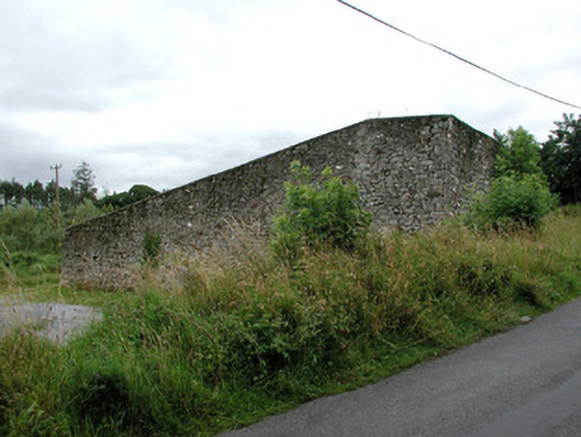 handball alleyhandball alley · 77 yd
 Tober KeerannHoly well · 213 yd
 Indicated (1838).Fairy fort / earthen ringfort · 413 yd
 Castle (in Ruins)Castle, tower house · 1248 yd
 Castle Carragh in RuinsCastle, unclassified · 3.3 mi
 KnockasliggaunMountain / peak · 3.5 mi
 Lough Talt TrailVisitor information · 3.7 mi
 Largan HillMountain / peak · 4.5 mi
 Carrick WoodWood · 4.6 mi
 HawthornHawthorn · 5.1 mi
 Hennigan's Heritage CentreHeritage attraction · 5.2 mi