What is recorded here
In pasture, located towards the base of a SW-facing slope. At the base of the slope the ground levels out to an expanse of damp pasture, where a holy well (MA091-023002-) located 20m to WNW.
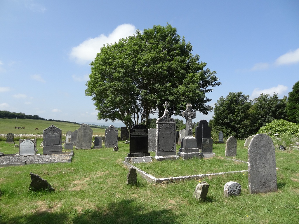
The graveyard encompasses a square area (53m NE–SW; 54m NW–SE) and is enclosed by a wall (Wth 0.6m; 1.2m) of roughly coursed limestone, bordered on the NE side by a road. The interior slopes markedly from NE down to SW, but levels out at the S–SE where the ruins of a medieval church (MA091-023001-) are located. The headstones are mainly of the ‘Celtic cross’ type and predominately date to the second half of the 19th century/early 20th century. Some horizontal grave slabs also occur. The inscriptions/dates on many gravestones are obscured by lichen.
Compiled by: Jane O’Shaughnessy
Date of upload: 9 February 2022
The monument record does not grant public access. Check the route and ask the landowner before entering private land.
- What survives
- Recorded monument
Places near here
 Enclosure in KilcolmanEnclosure · 365 yd
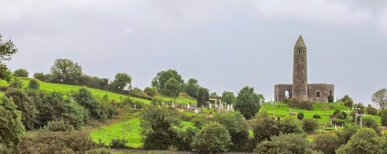 Enclosure in Murneen SouthEnclosure · 1108 yd
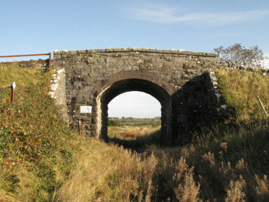 bridgebridge · 1490 yd
 Bawn in Murneen SouthBawn · 1527 yd
 Ballinsmaula Abbey (in Ruins)Religious house, Carmelite friars · 2.0 mi
 Ballybooley CastleCastle · 2.6 mi
 Land of the GiantsHeritage attraction · 3.2 mi
 Knock ShrineHeritage attraction · 3.8 mi
 Oak WoodForest · 5.2 mi
 Geoffrey's WoodForest · 5.3 mi
 Cow IslandIslet · 12 mi
 Crane IslandIslet · 12 mi