What is recorded here
Grave Yd in County Cork holds headstones dating from the 1730s inside a stone wall, with a Church of Ireland church at its west end. The medieval parish church of Temple Martin has vanished, though a ruined rectangular structure marked on an 1842 map may have stood at the graveyard's centre. What remains is a quiet layer of loss, where older worship dissolved into soil and the living continued to bury their dead beside its ghost.
Rectangular area enclosed by stone wall; headstones date from 1730s. C of I church (CO096-00801-) at W end. No trace of medieval parish church of Temple Martin which may be ruined rectangular structure marked in centre of graveyard on OS 6-inch map (1842) and termed 'site of chaped'.
The above description is derived from the published 'Archaeological Inventory of County Cork. Volume 1: West Cork' (Dublin: Stationery Office, 1992). In certain instances the entries have been revised and updated in the light of recent research.
Date of upload/revision: 14 January 2009
The monument record does not grant public access. Check the route and ask the landowner before entering private land.
- What survives
- Recorded monument
Places near here
 St Martin's Church of Ireland Churchchurch/chapel · 1 yd
 Cross in Garranes (kinalmeaky By.)Cross · 21 yd
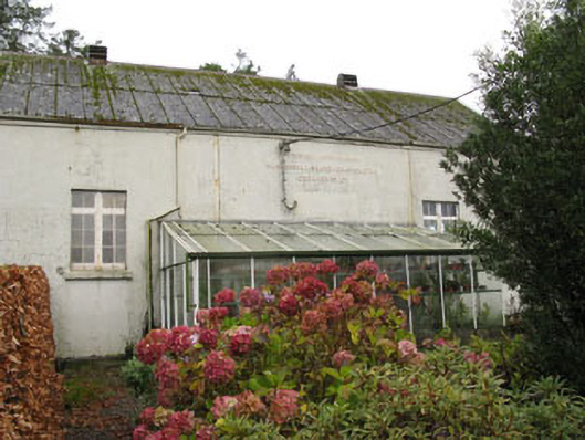 Templemartin Creamerycreamery · 431 yd
 Fulachta FiadhFulacht fia · 472 yd
 Castle Nalacht, site ofCastle, unclassified · 1.1 mi
 Mount Pleasant WoodWood · 1.8 mi
 Towers (in Ruins)House, fortified house · 2.8 mi
 Pedunculate OakPedunculate Oak · 3.4 mi
 Michael Collins MemorialMemorial · 3.9 mi
 Bandon War MemorialMemorial · 4.7 mi
 Carbury's WellSpring · 5.4 mi
 Independence MuseumMuseum · 5.4 mi