
What is recorded here
From the National Monuments Service (Archaeological Survey of Ireland) record CO033-052002
Places near here
Photo credits
- National Inventory of Architectural Heritage
- Maker not stated on source page, ie.polomap.com
- Maker not stated on source page, pixels.com
- Maker not stated on source page, www.alamy.com
- Maker not stated on source page, en.wikipedia.org
- Maker not stated on source page, www.pinterest.com
 Carrig HouseFarmyard complex · 975 yd
Explorer Tom 15. Carrig House in Carrig Demesne is what a farmyard complex dreams of being. It served the demesne with classical…
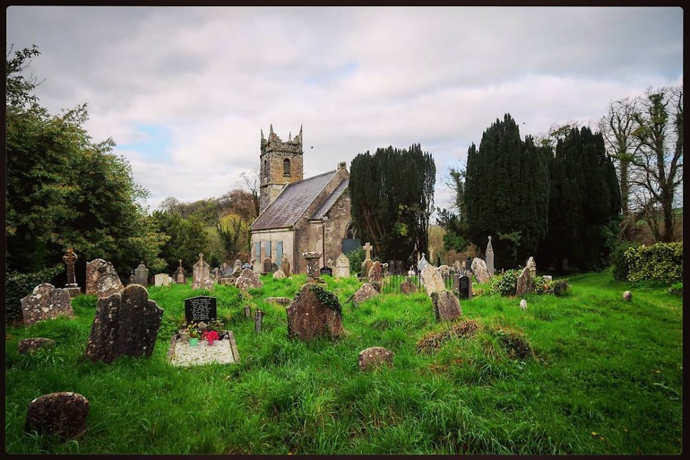 Graveyard in Carrig DemesneGraveyard · 976 yd
Explorer Tom Graveyard in Carrig Demesne was described as a 'shrubbery', which is either a lie or a very aggressive landscaping…
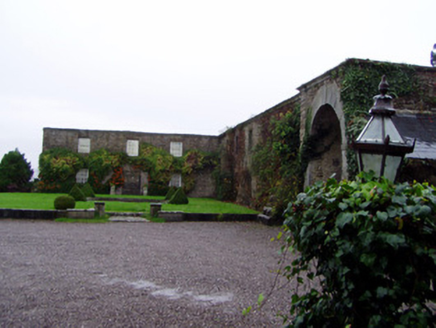 Rockforest HouseOutbuilding · 1448 yd
Explorer Tom Rockforest House outbuilding is a two-storey L-plan beast from 1810. It’s got a carriage arch with cut limestone…
 Kilcanway BridgeBridge · 1523 yd
Explorer Tom Kilcanway Bridge is straddling a dead railway line with that fancy limestone arch. Built c.1860, it’s got rock-faced…
 Carrig ViaductViaduct · 1623 yd
Explorer Tom Carrig Viaduct is showing off its six limestone arches over the Carrig River. Built in 1860 for trains that stopped…
 Carrig BridgeBridge · 1693 yd
Explorer Tom Carrig Bridge in Carrigpark is deeply suspicious of the postman because he never delivers anything but silence. Its…
 Fairy fort / earthen ringfort in Carrig DemesneFairy fort / earthen ringfort · 1.1 mi
Explorer Tom Fairy fort in Carrig Demesne would bring a bottle of wine and a story about being levelled in the fifties to any party…
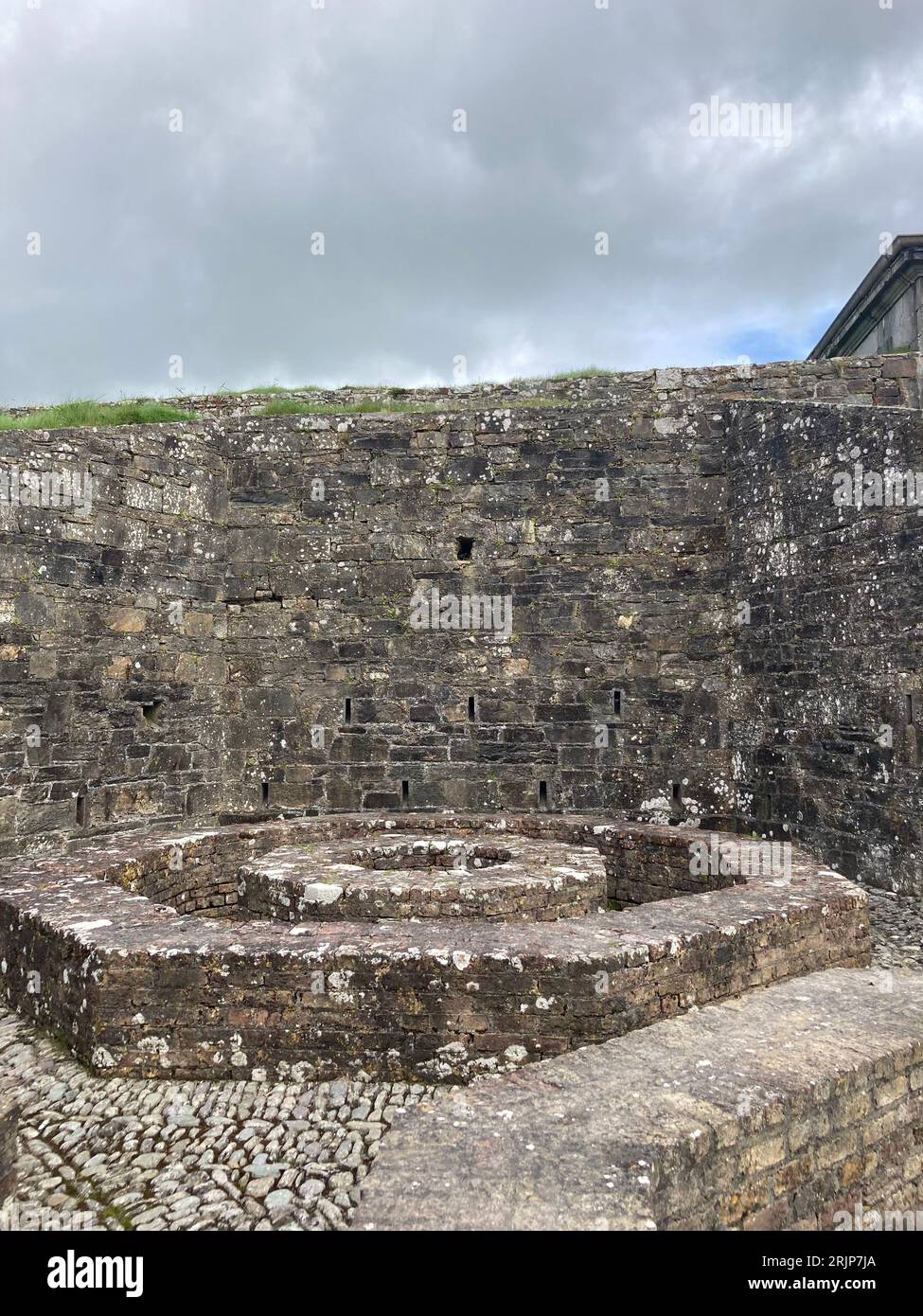 Fairy fort / earthen ringfort in CarrigparkFairy fort / earthen ringfort · 1.1 mi
Explorer Tom Carrigpark’s fairy fort got bisected by a railway line, so half of it is gone and the rest is just a stubby little arc.…
 Rockforest LodgeHouse · 1.2 mi
Explorer Tom Rockforest Lodge in Lavally Upper is showing off its nine-over-six pane timber sash windows like they’re rare jewels.…
 Rahan ChurchChurch/chapel · 1.6 mi
Explorer Tom Rahan Church in Ballymagooly is roofless and looking a bit spooky, like a skeleton in a limestone suit. Built back in…
 Killavullen GAA pitchGAA ground · 1.8 mi
 CastleCastle, unclassified · 1.9 mi
Explorer Tom Castle in Ballymagooly is on the edge of a cliff overlooking the Blackwater, but there’s no visible trace left at all.…
More archaeology and monuments in County Cork · All of County Cork

What do you know about this place?Tap to add a comment or ask a question