What is recorded here
On E shore of Ilen estuary. Rectangular area enclosed by low stone wall. Headstones date from early 19th century to present day. Church (CO150-005003-) in centre. Graveyard extended to S containing C of I church (CO150-005002-).
The above description is derived from the published 'Archaeological Inventory of County Cork. Volume 1: West Cork' (Dublin: Stationery Office, 1992). In certain instances the entries have been revised and updated in the light of recent research.
Date of upload/revision: 14 January 2009
Images provided by and copyright of Amanda Clarke 2016-2022 https://holywellscorkandkerry.com/
The monument record does not grant public access. Check the route and ask the landowner before entering private land.
- What survives
- Recorded monument
Places near here
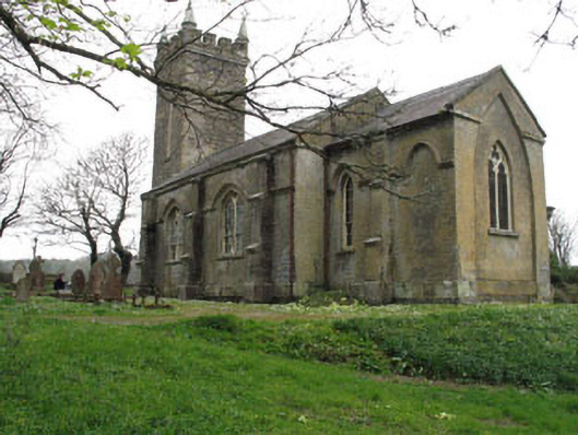 church/chapelchurch/chapel · 2 yd
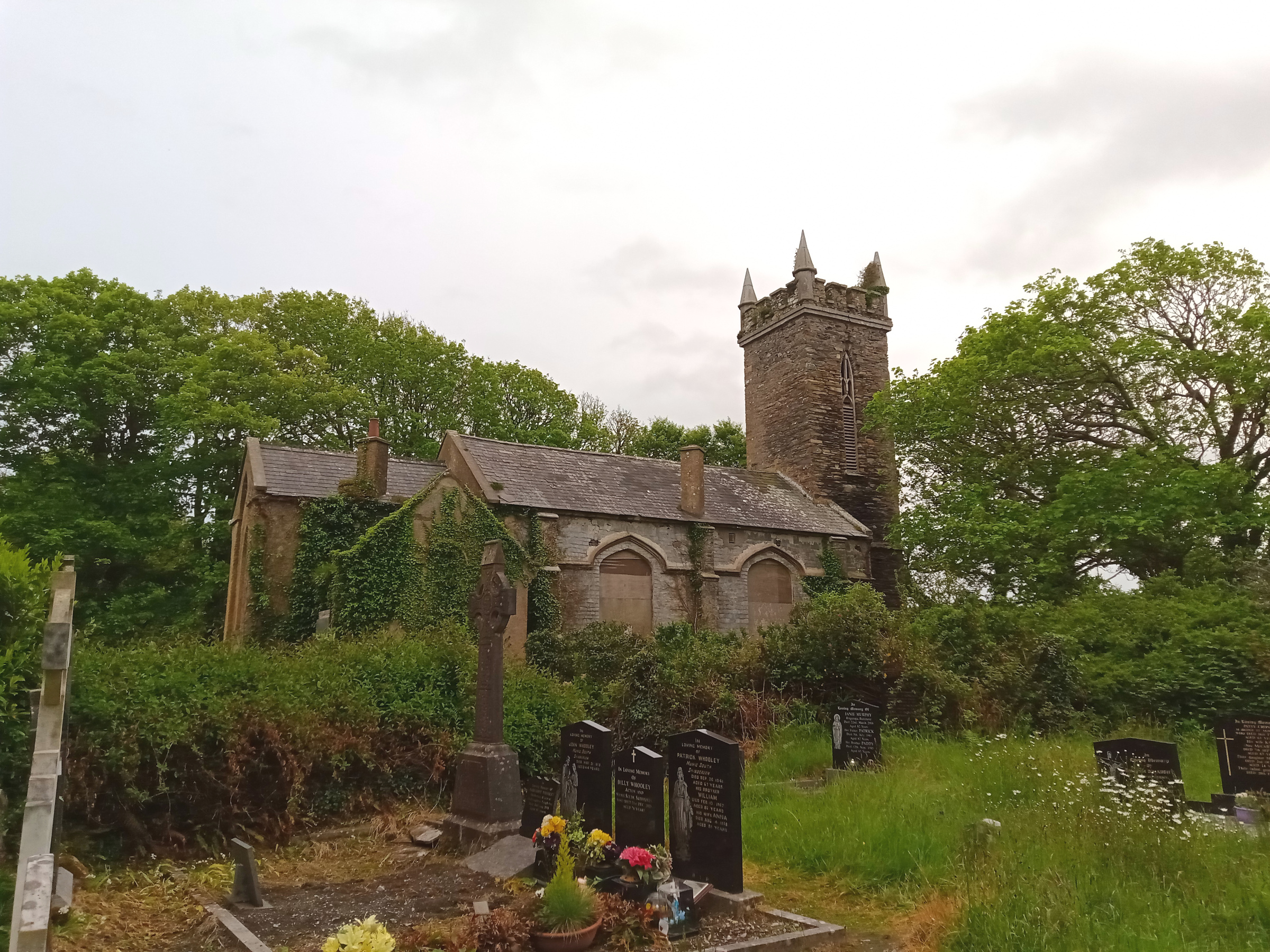 Church (in Ruins)Church · 43 yd
 Wild Atlantic WayVisitor information · 274 yd
 Childrens Burial GroundBurial ground · 484 yd
 IndicatedFairy fort / earthen ringfort · 631 yd
 Bawn in Oldcourt (carbery West (e.d) By.)Bawn · 1759 yd
 Donegall Castle (in Ruins)Castle, unclassified · 1.0 mi
 KnockomaghMountain / peak · 1.4 mi
 Monterey CypressMonterey Cypress · 1.5 mi
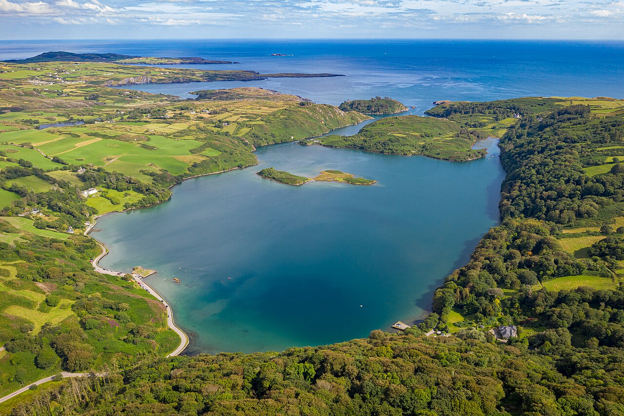 Lough HyneVisitor information · 1.8 mi
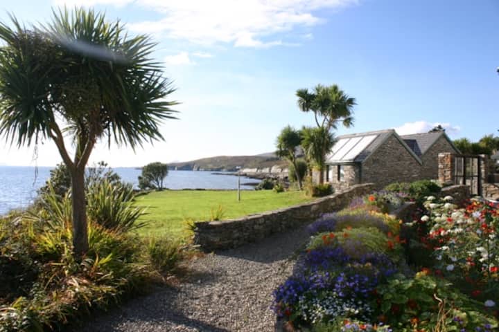 Reenmore IslandIslet · 1.8 mi
 Wild Atlantic Way:Lough HyneVisitor information · 1.8 mi