What is recorded here
In the SE quadrant of a larger D-shaped enclosure (SL022-010001-), bordered on the SE side by a stream. A slightly raised subrectangular area (26m NW-SE; 21m NE-SW) enclosed by the largely grassed-over remains of a low wall (int. H 0.1-0.3m) of stone and earth, which incorporates the enclosing bank of the larger enclosure on the NE and SE sides. The interior of the burial ground is divided in two by a low scarp on a NE–SW axis which marks a drop of 0.7m in ground level between the larger NW part and a lower, smaller SE terrace which slopes down to the stream. In the NW corner of the raised NW part of the burial ground, there is a cross-inscribed pillar (SL022-010003-). A random scatter of low stones protruding from the sod may represent grave markers.
Compiled by: Patrick F. O'Donovan
Date of upload: 19 January 2011
The monument record does not grant public access. Check the route and ask the landowner before entering private land.
- What survives
- Recorded monument
Places near here
 Enclosure in CottlestownEnclosure · 29 yd
 Castletown Housecastle/fortified house · 876 yd
 IndicatedFairy fort / earthen ringfort · 958 yd
 Grave of the Black PigArchaeological place · 1.2 mi
 CastleCastle, unclassified · 1.2 mi
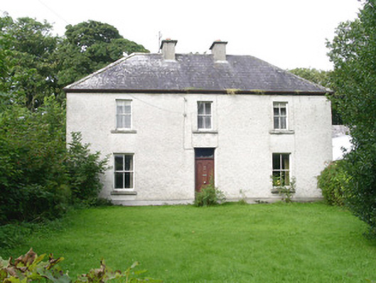 Ashdalehouse · 1.5 mi
 The Black PigMemorial · 1.7 mi
 Enniscrone BeachBeach / strand · 2.3 mi
 Rinnachurry PointHeadland · 2.5 mi
 Goose IslandIslet · 2.6 mi
 Wild Atlantic Way: Inishcrone PierVisitor information · 2.6 mi
 Rosserk AbbeyHeritage attraction · 2.7 mi