What is recorded here
On a low hill, immediately to the N of a small stream. This subrectangular burial ground (82.5m NE-SW; 33m NW-SE) is enclosed from SW-N-ENE by a stone wall and from ENE-S-SW by a post-and-wire fence, where it is bounded by the stream. The principal entrance is a wrought-iron gate and adjacent stile at NE. There is a secondary entrance, also a wrought-iron gate, at SW. Memorials mainly date from the 18th to the 20th centuries but the earliest recorded inscription is dated 1670 (Lennon 2005). In addition, there are a considerable number of low, upright and larger, flat, uninscribed stones. The burial ground is still in use. A holy well (LF002-006001-) and its associated holy tree (LF002-006005-) lie immediately beyond the stream to the SW.
Compiled by: Paul Walsh
Date of upload: 7 June 2013
The monument record does not grant public access. Check the route and ask the landowner before entering private land.
- What survives
- Recorded monument
Places near here
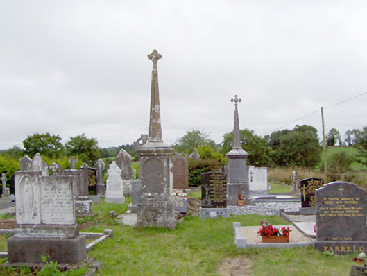 graveyard/cemeterygraveyard/cemetery · 1 yd
 Ritual siteRitual site, holy tree/bush · 36 yd
 Tober PatrickCross · 41 yd
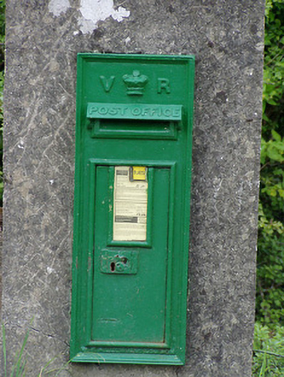 post boxpost box · 395 yd
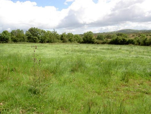 battlefieldbattlefield · 1.7 mi
 Battle of BallinamuckMajor battlefield · 1.7 mi
 North Midland Transport CollectionMuseum · 1.7 mi
 Ballinamuck Bog LoopWalking route · 2.2 mi
 Native Woodland Trust: Farnaght ReserveWood · 3.9 mi
 Giant's GraveArchaeological place · 4.2 mi
 CastleBawn · 4.4 mi
 CornaferstMountain / peak · 5.0 mi