What is recorded here
Situated on low rise of ground on poorly drained land with Stonyford River 110m to the E. Sub-circular shaped area (approx. diam. 47m) enclosed by a post-1700 stone wall with entrance gate and stone stile at NNW. Ruins of ivy-covered Clonarney Castle (WM009-034001-) stands in N quadrant of graveyard. Immediately outside the stone wall the presence of a fosse and earthen bank appear to represent the remains of an earlier enclosure (WM009-034004-). Large concentration of well-preserved earthworks in the surrounding fields represent the remains of an extensive field system (WM009-034002-) of unknown date.
Compiled by: Caimin O’Brien
Date of upload: 29 March 2018
The monument record does not grant public access. Check the route and ask the landowner before entering private land.
- What survives
- Recorded monument
Places near here
 Clonarney Church (in Ruins)Castle, tower house · 15 yd
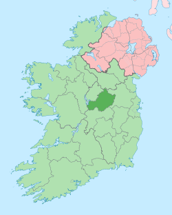 Not idnicatedEcclesiastical enclosure · 36 yd
 Rosmead Housecountry house · 622 yd
 Settlement desertedSettlement deserted, medieval · 1412 yd
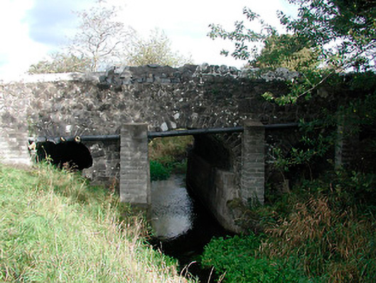 Graulty's Bridgebridge · 1.1 mi
 Bawn in ArcherstownBawn · 1.7 mi
 European YewEuropean Yew · 1.9 mi
 Persian WalnutPersian Walnut · 2.0 mi
 Kells HillMountain / peak · 4.1 mi
 The Sloe HillMountain / peak · 4.2 mi
 LoughcrewMegalithic tomb cemetery · 7.8 mi
 C11Named rock · 7.9 mi