What is recorded here
On a slight rise immediately E of John Street, a large rectangular graveyard associated with the medieval parish church of St. John (TS061-025013-). It is enclosed by a stone boundary, the SW, SE, and greater part of the NE walls of which are co-terminous with the town wall (TS061-025023-). In 2000 an archaeological excavation in Agar's Lane, which was created in 1784, revealed 13th/14th-century burials indicating that the graveyard originally extended further N than the present boundary (Gregory 2002, 312-13).
Compiled by: Jean Farrelly
Date of upload: 26 August 2011
The monument record does not grant public access. Check the route and ask the landowner before entering private land.
- What survives
- Recorded monument
Places near here
 Church in Green,cashelChurch · 19 yd
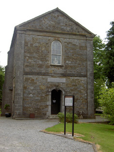 Cathedral of Saint John the Baptistlibrary/archive · 44 yd
 Structure in CashelStructure · 204 yd
 Cashel Folk MusuemMuseum · 341 yd
 Black mulberryBlack mulberry · 414 yd
 Ladys WellHoly well · 604 yd
 The Rock Of CashelVisitor information · 612 yd
 Cormac's ChapelHeritage attraction · 669 yd
 Ballyknock HillMountain / peak · 1.4 mi
 Site of CastleCastle, unclassified · 1.9 mi
 Gortmakellis CastleCastle · 2.2 mi
 European ashEuropean ash · 5.2 mi