What is recorded here
A rectangular graveyard (c. 65m SW-NE; c. 45m SE-NW), including a recent extension, enclosed by a stone wall. Inscribed headstones date from the 18th to the 20th centuries. The site of a church (SL041-038001-), probably the medieval parish church of Kilmactrany, lies just N of the early 19th-century C of I church. A 17th-century stone cross (SL041-038007-) last seen on top of the McConmee vault in 1995 cannot be found (pers. comm. M. B. Timoney). There is a wayside cross (SL041-03803-) in the field to the N. The site of a mound (SL041-038004-) and a standing stone (SL041-038005-) are c. 50m to SE.
The above description is derived from the published 'Archaeological Inventory of County Sligo' compiled by Ursula Egan, Elizabeth Byrne, Mary Sleeman with Sheila Ronan and Connie Murphy (Dublin Stationery Office, 2005).
Date of upload: 18 January 2008
The monument record does not grant public access. Check the route and ask the landowner before entering private land.
- What survives
- Recorded monument
Places near here
 Church (in Ruins)Church · 6 yd
 Saint Thomas's Church (Kilmactranny)church/chapel · 19 yd
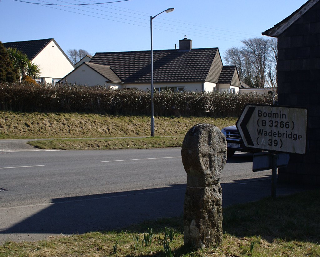 Stone CrossCross · 55 yd
 Enclosure in CarrickardEnclosure · 229 yd
 Green IslandIslet · 1.8 mi
 Loughbrick BayBay · 2.0 mi
 Josie McDermott MemorialMemorial · 2.2 mi
 Annagh WoodForest · 2.5 mi
 MoatCastle, motte · 2.5 mi
 Muck IslandIslet · 2.6 mi
 Roundhouse Hill WoodForest · 2.6 mi
 Barroe NorthMountain / peak · 2.7 mi