
What is recorded here
On a SE-facing slope; in a graveyard , just N of an early 19th-century C of I church, in the graveyard (SL041-038002-). Depicted on the 1838 OS 6-inch map as a ruined rectangular structure (c. 14m NW-SE; 8m NE-SW) but only the E corner is shown on the 1914 OS 6-inch map. The elongated nettle-covered mound just S of the centre of the graveyard is the McConmee burial vault. This was probably originally built within the church ruin (O'Rorke [1889], vol. 2, 246) but there is no evident trace of the church. According to tradition, this was the 'ruins of an old church called Teampull Chill 'ac a Treanuigh, supposed to have been built by St. Macatrany' (OSL, 237), but it is as likely to have been the medieval parish church of Kilmactrany.
The above description is derived from the published 'Archaeological Inventory of County Sligo' compiled by Ursula Egan, Elizabeth Byrne, Mary Sleeman with Sheila Ronan and Connie Murphy (Dublin Stationery Office, 2005).
Date of upload: 18 January 2008
A local church or high cross; wider significance not recorded.
The monument record does not grant public access. Check the route and ask the landowner before entering private land.
- What survives
- Recorded monument
Places near here
 Saint Thomas's Church (Kilmactranny)church/chapel · 25 yd
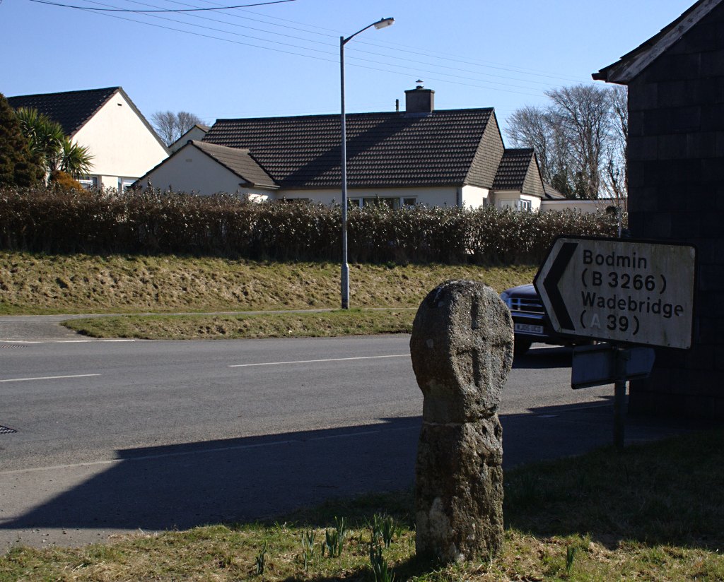 Stone CrossCross · 53 yd
 Enclosure in CarrickardEnclosure · 224 yd
 Templecaleen (in Ruins)Church · 1083 yd
 Green IslandIslet · 1.7 mi
 Loughbrick BayBay · 2.0 mi
 Josie McDermott MemorialMemorial · 2.2 mi
 Annagh WoodForest · 2.5 mi
 MoatCastle, motte · 2.5 mi
 Muck IslandIslet · 2.6 mi
 Roundhouse Hill WoodForest · 2.6 mi
 Barroe NorthMountain / peak · 2.7 mi
Other information
Photo: Credit not shown in the picture search · Rights wording not checked; contact us if this picture should be removed