
What is recorded here
On a narrow level, reclaimed strip of ground at the S foot of a short but steep E-W escarpment. Indicated on the latest ed. (1914) of the OS 6-inch map as a raised oval area (est. c. 25m N-S; c. 20m E-W). A faint scarp (H 0.2-0.4m) is visible curving in an intermittent arc W-N-ENE (diam. c. 30m E-W). The S-half of the site has been dug out to accommodate a large shed.
Compiled by: Gearóid Conroy
Date of upload: 12 July 2-13
A local fairy fort (ringfort/rath); wider significance not recorded.
The monument record does not grant public access. Check the route and ask the landowner before entering private land.
- What survives
- Recorded monument
Places near here
 Church (in Ruins)Church · 224 yd
 Saint Thomas's Church (Kilmactranny)church/chapel · 239 yd
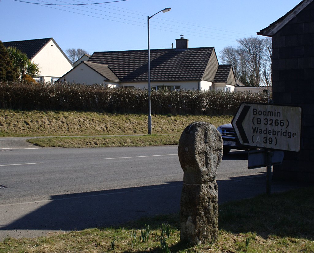 Stone CrossCross · 257 yd
 CaveMan-made underground passage · 623 yd
 Green IslandIslet · 1.6 mi
 Josie McDermott MemorialMemorial · 2.1 mi
 Loughbrick BayBay · 2.2 mi
 Annagh WoodForest · 2.3 mi
 Roundhouse Hill WoodForest · 2.5 mi
 MoatCastle, motte · 2.6 mi
 Muck IslandIslet · 2.7 mi
 Geevagh Prisoners 1908 MemorialMemorial · 2.7 mi
Other information
Photo: Credit not shown in the picture search · Rights wording not checked; contact us if this picture should be removed