What is recorded here
The graveyard is indicated on the 1st (1839) ed. OS 6-inch map as an irregular area shown as a dashed line, which suggests that it was not enclosed at this time. On the 1947 revision of the OS map the graveyard (dims. c. 50m N-S; c. 80m E-W) has become enclosed by a stone wall/stone wall and railing, with the public road curving to form the N and W side of the graveyard. The entrance is via wrought iron double-leaf gate in the N wall. In the OS Letters (1839) the graveyard is described as, ‘a large and much frequented burying ground’ (O’Flanagan 1930, vol. 2, 30-31 (12)). Within the associated graveyard (KK023-072002-) Carrigan (1905, vol. 3, 376-7) notes two medieval graveslabs (KK023-072003-; KK023-072004-) and the mensa of a 16th-century chest tomb (KK023-072005-).
Compiled by: Jean Farrelly
Date of upload: 23 August 2021
The monument record does not grant public access. Check the route and ask the landowner before entering private land.
- What survives
- Recorded monument
Places near here
 Church in BurnchurchChurch · 1 yd
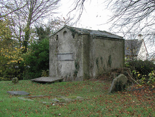 Burnchurch Churchmausoleum · 34 yd
 Burnchurch CastleVisitor information · 67 yd
 Enclosure in CoalsfarmEnclosure · 599 yd
 Enclosure in FarmleyEnclosure · 1005 yd
 Ballybur CastleCastle, tower house · 1.2 mi
 Ballyda Holy WellSpring · 2.0 mi
 CastleCastle, unclassified · 2.2 mi
 Lacken WellSpring · 2.3 mi
 Kells Priory Mill MuseumMuseum · 2.5 mi
 Famous Horses of KellsMemorial · 2.7 mi
 Kells Augustinian PrioryHeritage attraction · 2.9 mi